
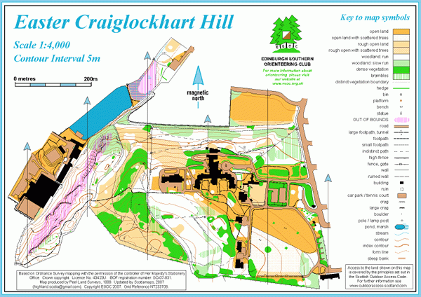
Easter Craiglockhart Hill map
Information
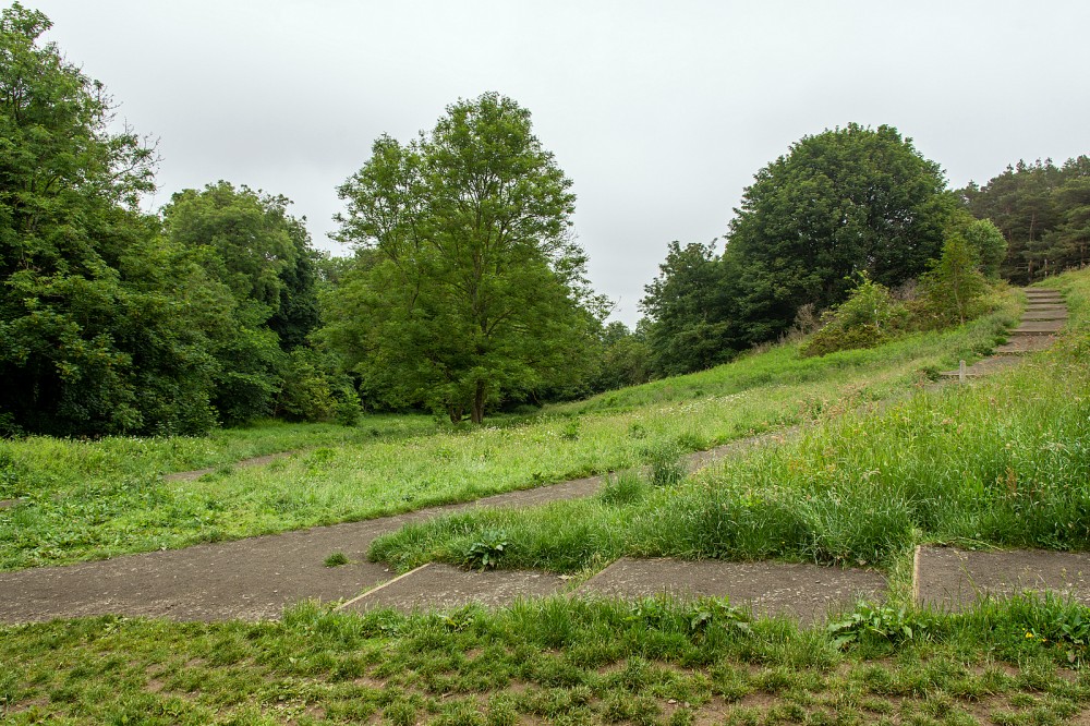
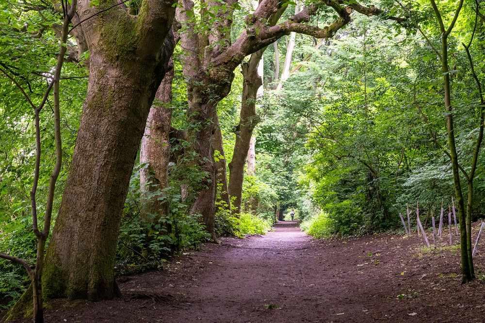
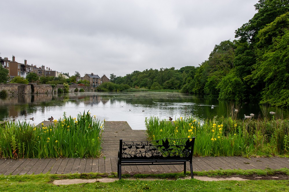
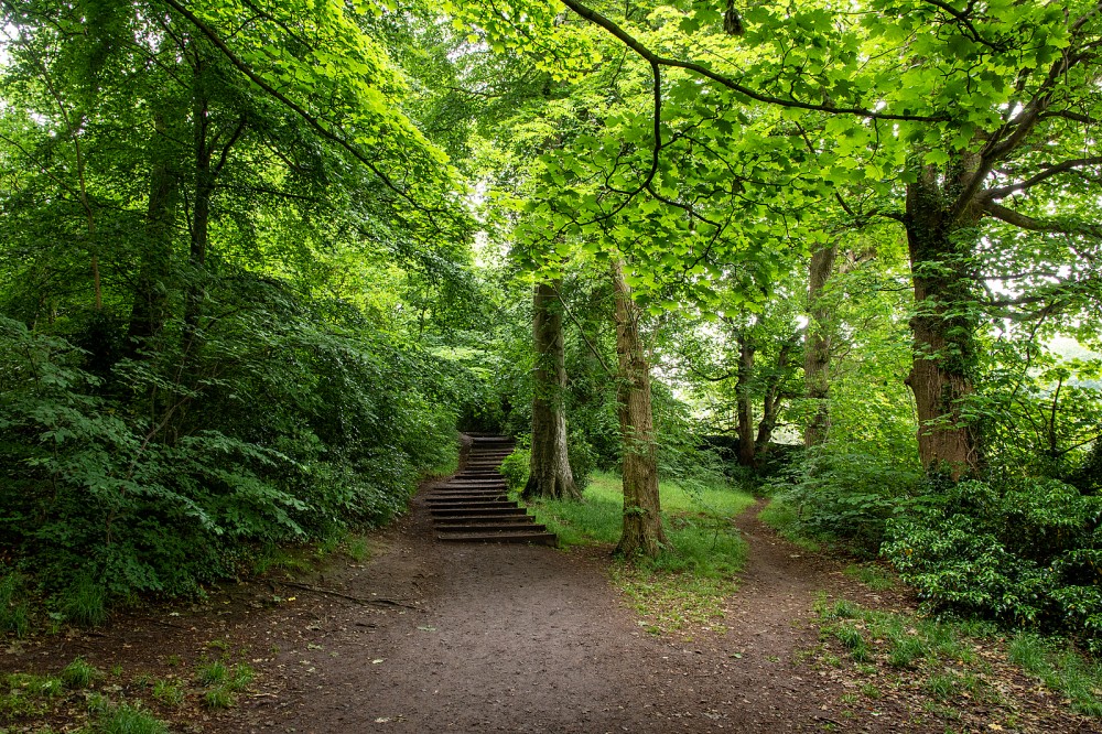
Varied terrain in the heart of the city.
This is the former Napier University campus, currently undergoing redevelopment and not available for orienteering.
It offers varied terrain, with open parkland, steep craggy slopes, deciduous woodland, various buildings and many paths and roads. The map includes the Craiglockhart Sports Centre and pond. There are good views across the city from the top of the hill.
Previously used for Local events (e.g. Saturday events or Fight with the Night).
Location
/-3.22750,55.92240,12/500x400?access_token=pk.eyJ1IjoicGF1bGZyb3N0IiwiYSI6ImNscGg3eGRlMjA0cm8yaW52aGhtY2lxZjQifQ.Lc483ZPI9QPGNrBpcqqywQ)
Near: Edinburgh Lat,Lng: 55.92240,-3.22750 OS Grid Ref: NT233706 Postcode: EH10 5FA
Open an interactive map in: GoogleMap - OpenStreetMap - AppleMaps - BingMap
Credit: Crawford Lindsay
Credit: Sally Lindsay
Credit: Sally Lindsay
Credit: Sally Lindsay
Credit: Sally Lindsay
Credit: Sally Lindsay
Credit: Sally Lindsay