
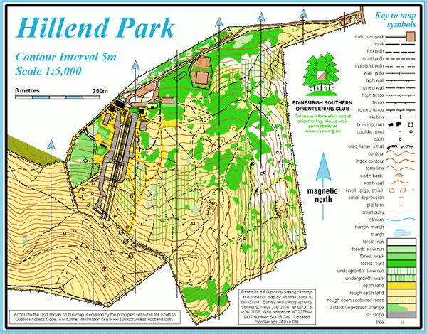
Hillend Park map
Information
Open hillside on the northern edge of the Pentland Hills.
This is an area of open hillside adjacent to the Midlothian Snowsports Centre. There is some woodland on the east side, and extensive gorse patches on lower slopes. Otherwise the terrain is mainly rough grass, with heather higher up. There are excellent views over the city from the higher slopes, which are part of the Pentland Hills Regional Park.
This map is not currently in use because of ongoing redevelopment at the Hillend ski centre.
There is a Permanent Orienteering Course here.
Virtual Orienteering Courses (VOCs), using the Permanent Orienteering Course (POC) posts, are available as MapRun courses on a smartphone. Full details of the courses available (difficulty, length, and safety advice) and how to access them can be found on the Hillend Park page of British Orienteering’s “Go Orienteering” web portal.
Full instructions for accessing/using the MapRun software are included on the Smartphone Orienteering & Permanent Courses page of the Scottish Orienteering website.
Location
/-3.20728,55.88817,12/500x400?access_token=pk.eyJ1IjoicGF1bGZyb3N0IiwiYSI6ImNscGg3eGRlMjA0cm8yaW52aGhtY2lxZjQifQ.Lc483ZPI9QPGNrBpcqqywQ)
Near: Edinburgh Lat,Lng: 55.88817,-3.20728 OS Grid Ref: NT245666 Postcode: EH10 7DU
Open an interactive map in: GoogleMap - OpenStreetMap - AppleMaps - BingMap
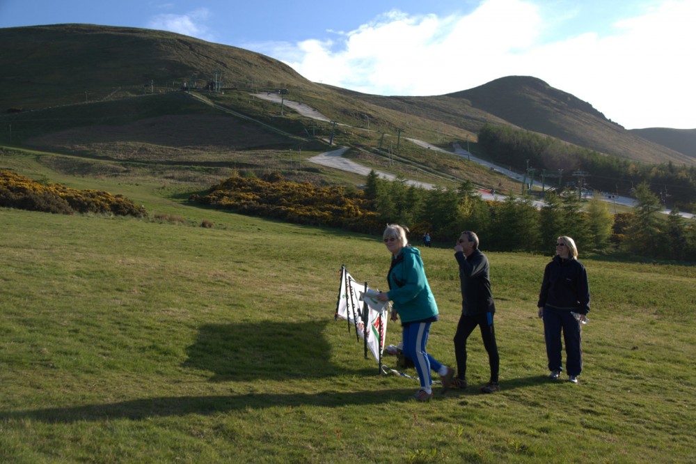
Credit: Crawford Lindsay
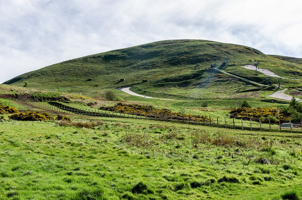
Credit: Crawford Lindsay