
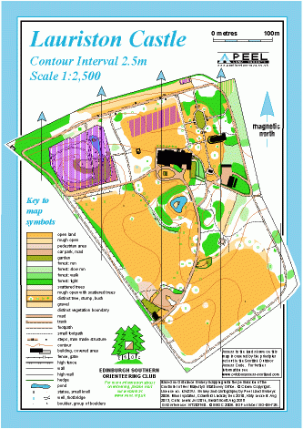
Lauriston Castle map
Information
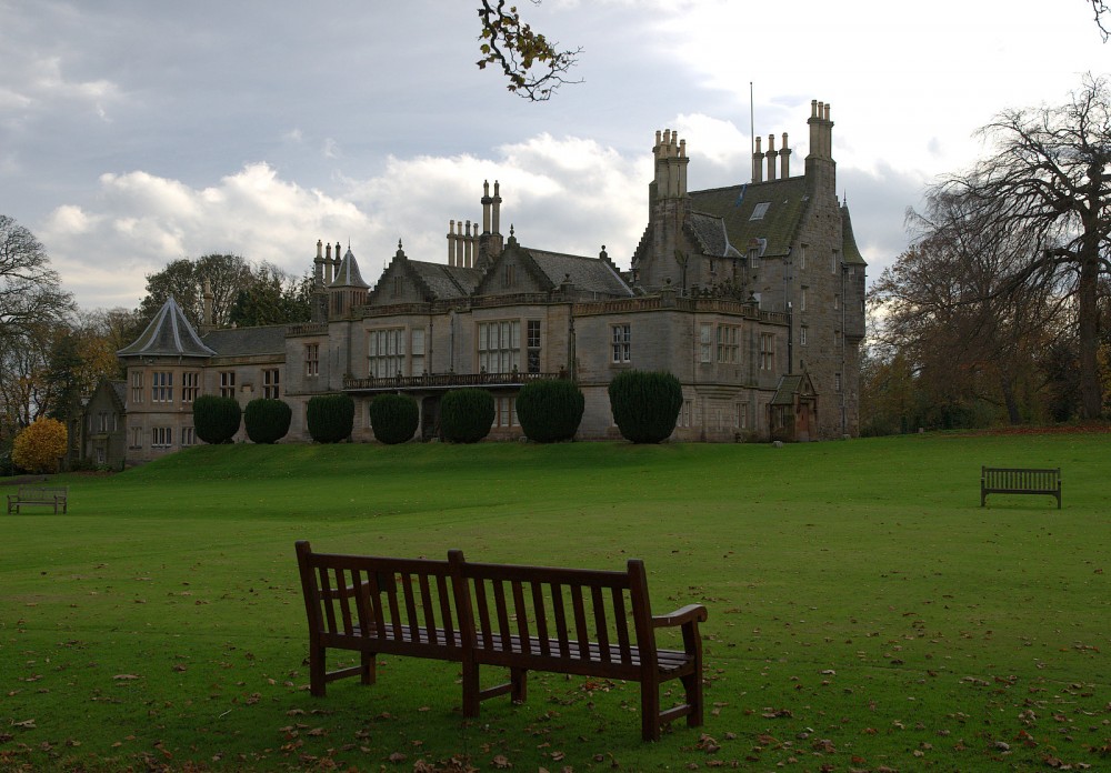
Parkland and gardens overlooking the Firth of Forth.
This is a small area in the north of Edinburgh, around the 16th Century castle, which is managed by the City of Edinburgh Council. There are formal gardens, open parkland and woods, with many paths and ornamental features. The northern paths have good views across the Forth estuary.
Used for Local events (e.g. Saturday events or ESOC Ultrasprint).
Location
/-3.27710,55.97040,12/500x400?access_token=pk.eyJ1IjoicGF1bGZyb3N0IiwiYSI6ImNscGg3eGRlMjA0cm8yaW52aGhtY2lxZjQifQ.Lc483ZPI9QPGNrBpcqqywQ)
Near: Edinburgh Lat,Lng: 55.97040,-3.27710 OS Grid Ref: NT203760 Postcode: EH4 6SB
Open an interactive map in: GoogleMap - OpenStreetMap - AppleMaps - BingMap
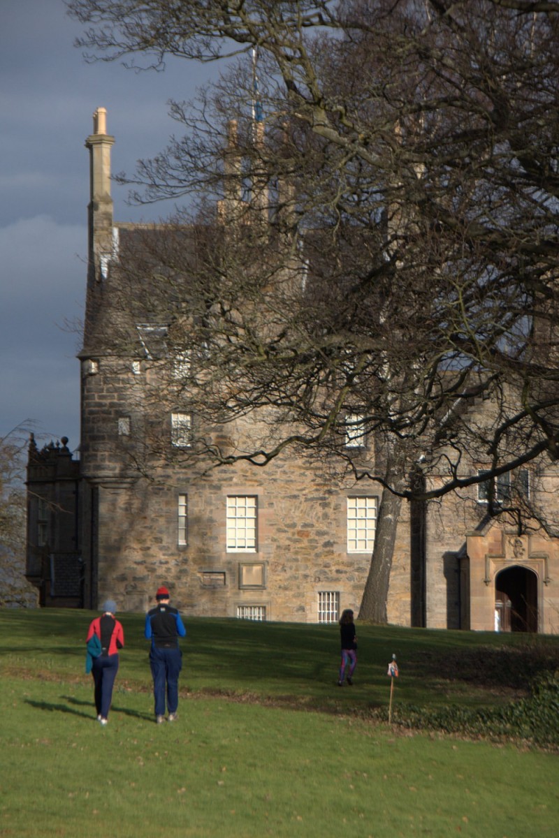
Credit: Crawford Lindsay
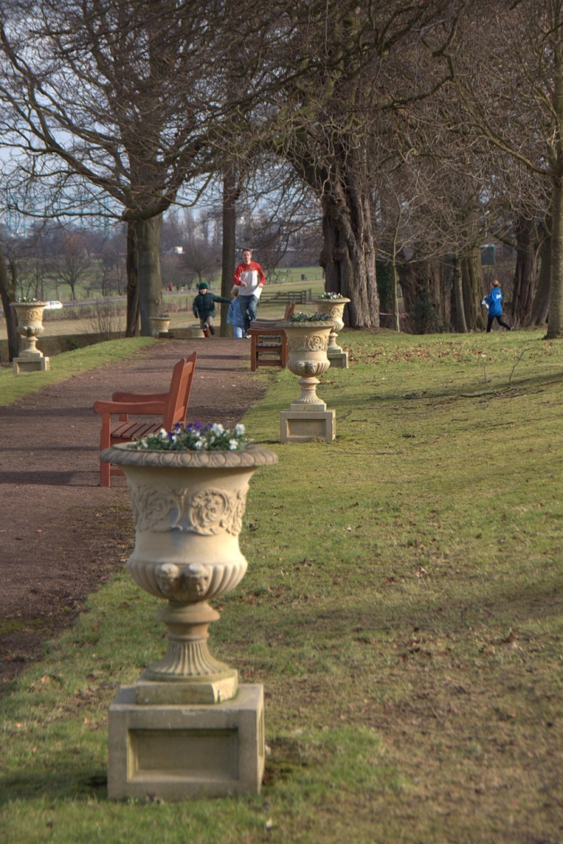
Credit: Crawford Lindsay
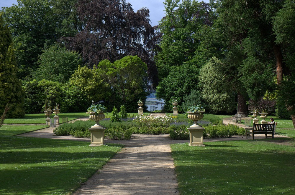
Credit: Crawford Lindsay
Credit: Crawford Lindsay