
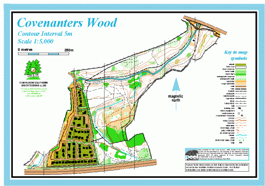
Covenanters Wood map
Information
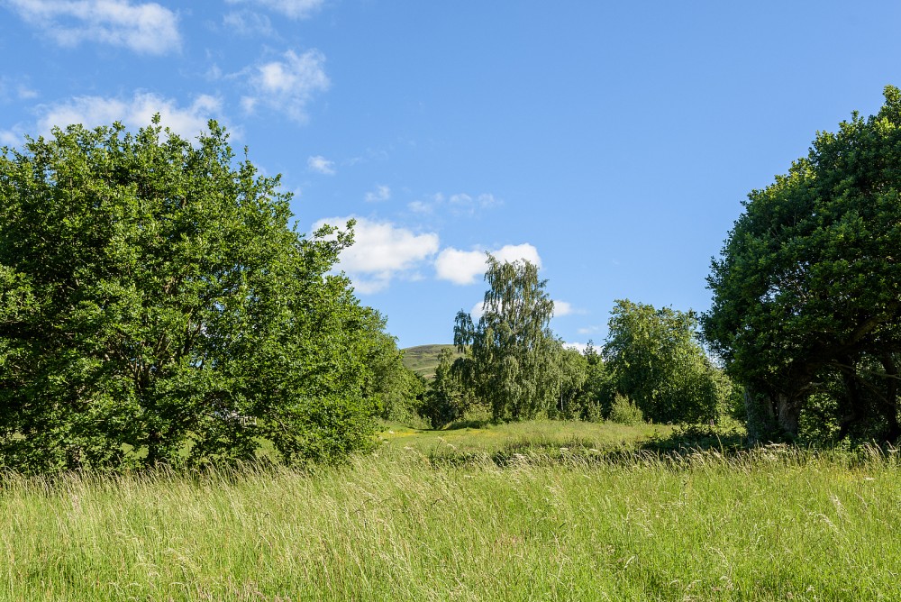
Small area of woodland along the Bonaly Burn, adjacent to Dreghorn Barracks.
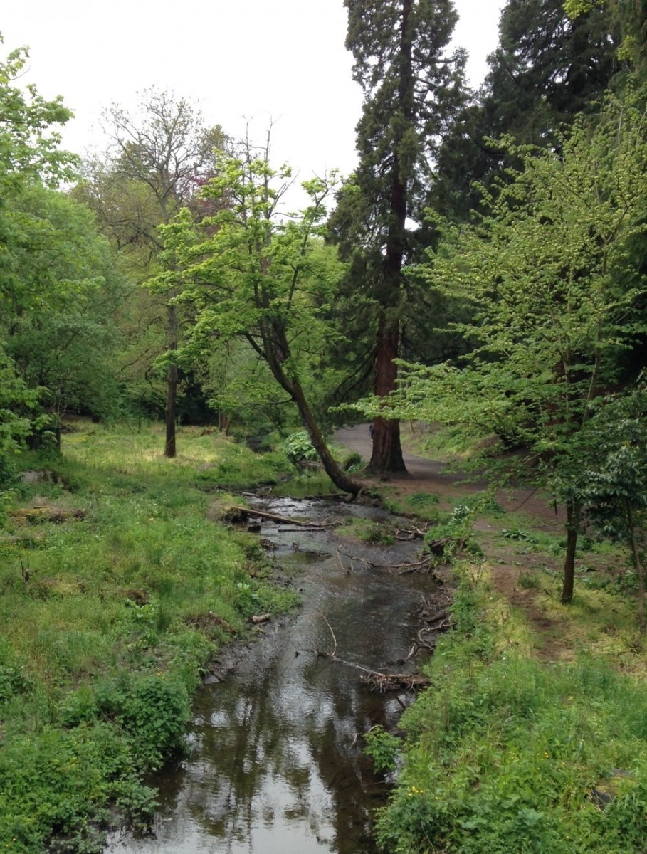
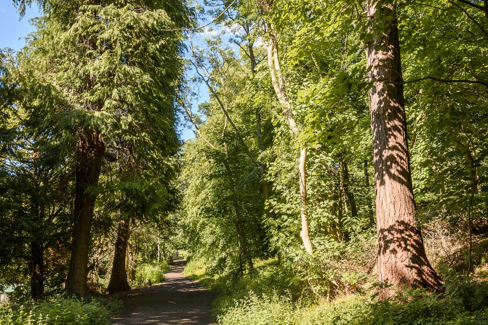
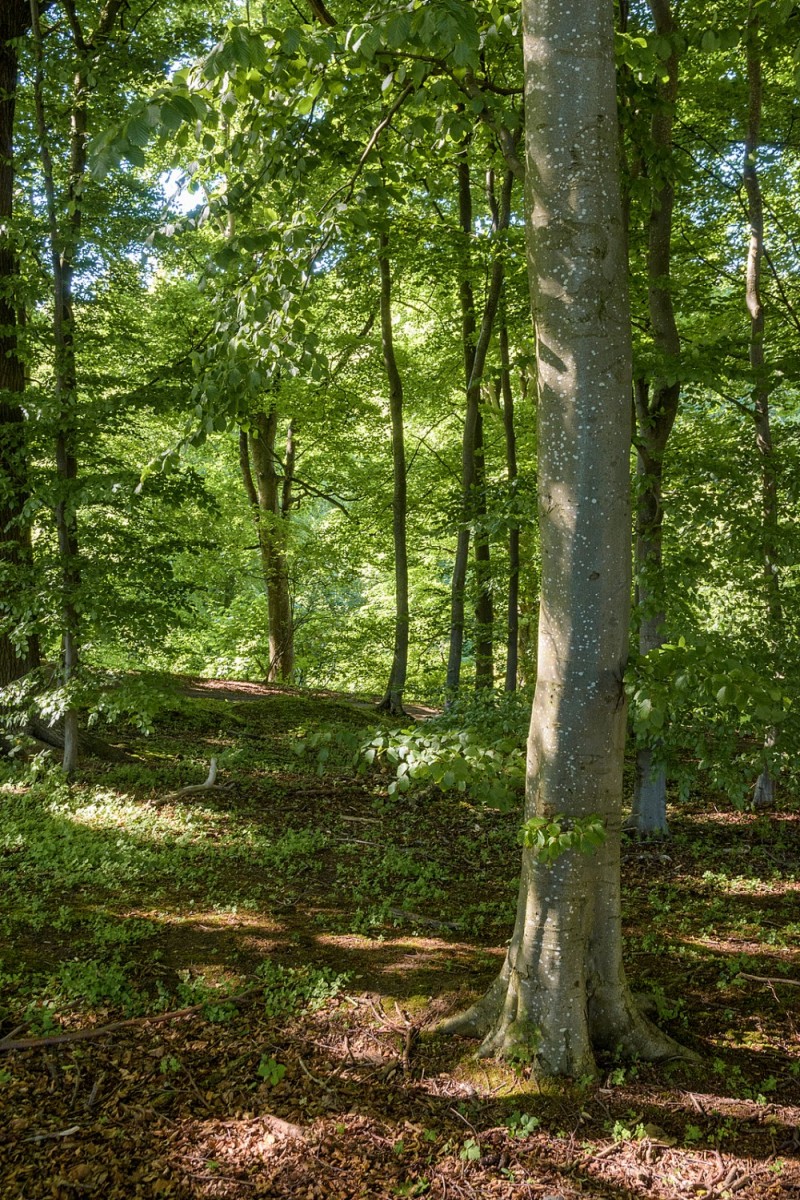
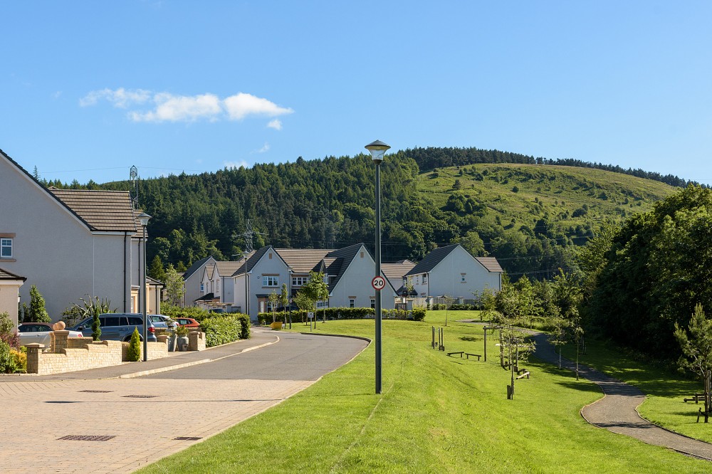
This small area is mainly wooded, with steep banks along the Bonaly Burn and its tributary, the Howden Burn. The Edinburgh City Bypass runs across the southern edge. The woods have a network of paths, a few open areas, and some ditches and streams, as well as historic First and Second World War training trenches. The streets of the recent Polofields housing development are included on the west side of the map.
MapRun courses are available here.
Used for local events and training.
Location
/-3.2454,55.9023,12/500x400?access_token=pk.eyJ1IjoicGF1bGZyb3N0IiwiYSI6ImNscGg3eGRlMjA0cm8yaW52aGhtY2lxZjQifQ.Lc483ZPI9QPGNrBpcqqywQ)
Near: Edinburgh Lat,Lng: 55.9023,-3.2454 OS Grid Ref: NT223685 Postcode: EH13 0AT
Open an interactive map in: GoogleMap - OpenStreetMap - AppleMaps - BingMap
Credit: Margaret Dalgleish
Credit: Sally Lindsay
Credit: Crawford Lindsay
Credit: Sally Lindsay
Credit: Sally Lindsay