
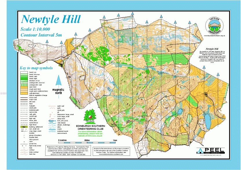
Newtyle Hill map
Information
A rugged area of mixed terrain in the Southern Highlands.
Newtyle Hill is east of Dunkeld. The terrain is mixed and fairly rough, with deep heather in the higher open areas, and some thick juniper, as well as delightful, varied deciduous woodland and some open fields.
The Newtyle map is jointly owned with Tayside Orienteers (TAY).
Used for Regional and National events, and also the JK 2012 Relay Championships.
Location
/-3.53919,56.56227,12/500x400?access_token=pk.eyJ1IjoicGF1bGZyb3N0IiwiYSI6ImNscGg3eGRlMjA0cm8yaW52aGhtY2lxZjQifQ.Lc483ZPI9QPGNrBpcqqywQ)
Near: Dunkeld Lat,Lng: 56.56227,-3.53919 OS Grid Ref: NO052422 Postcode: PH8 0HA
Open an interactive map in: GoogleMap - OpenStreetMap - AppleMaps - BingMap
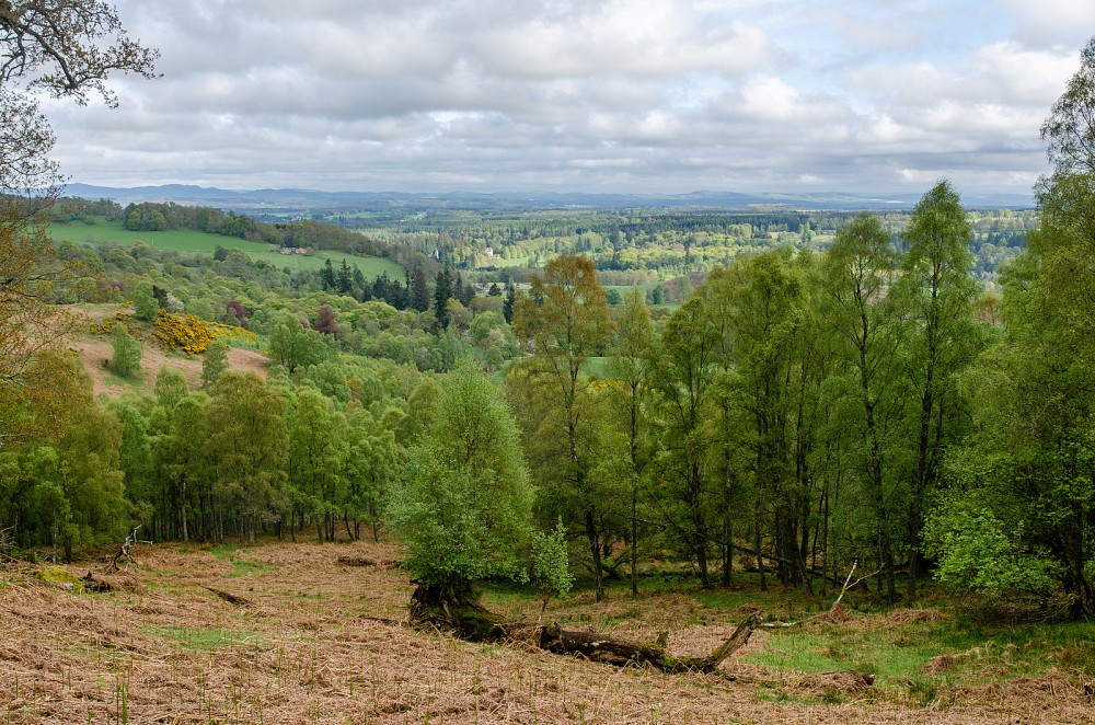
Credit: Crawford Lindsay
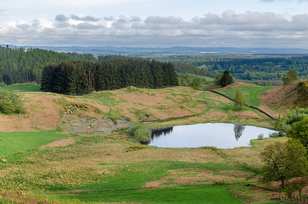
Credit: Crawford Lindsay
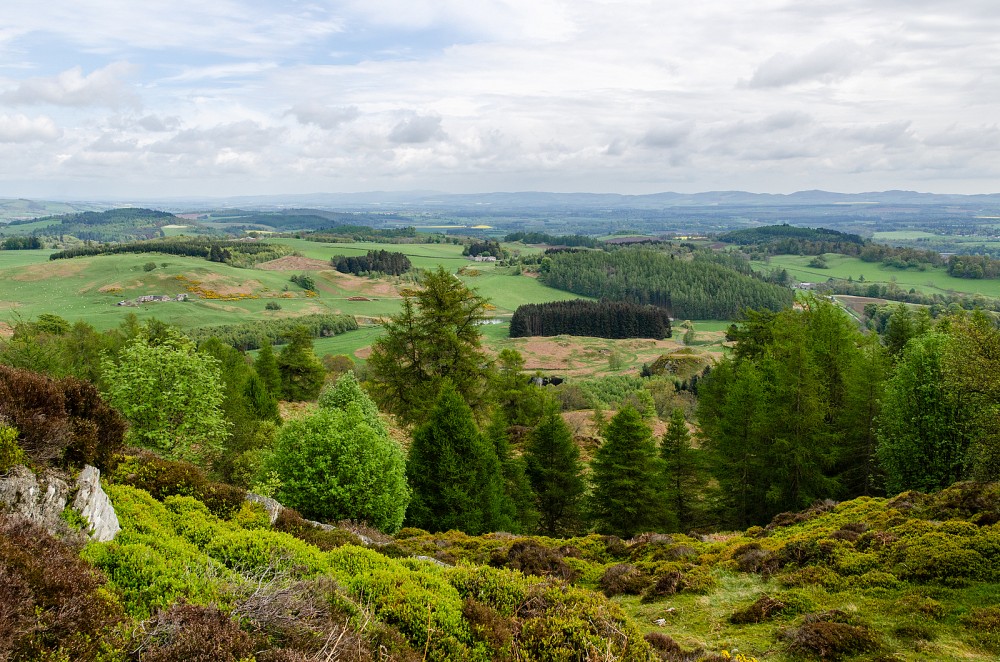
Credit: Crawford Lindsay