
Blackford Hill and The Hermitage map

Information
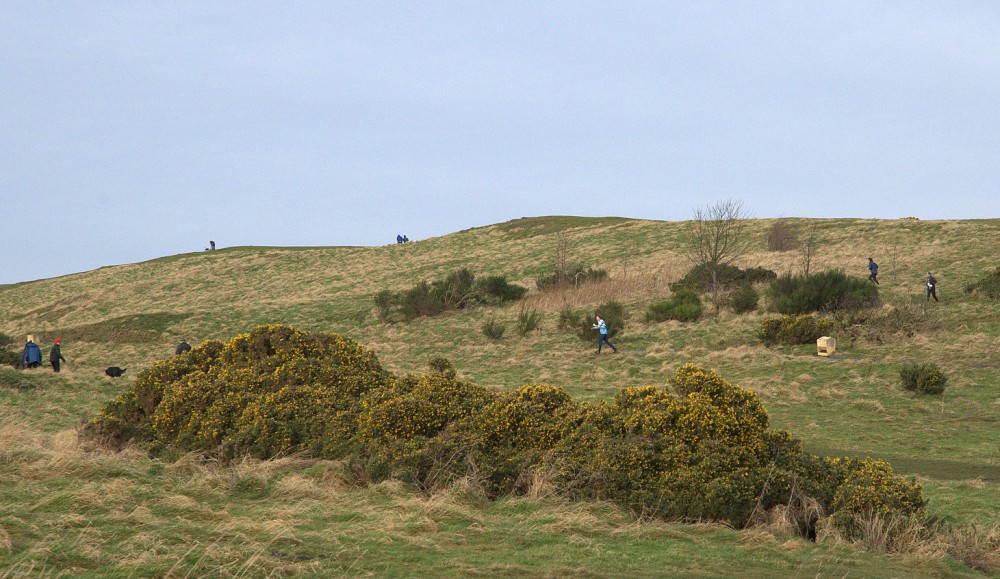
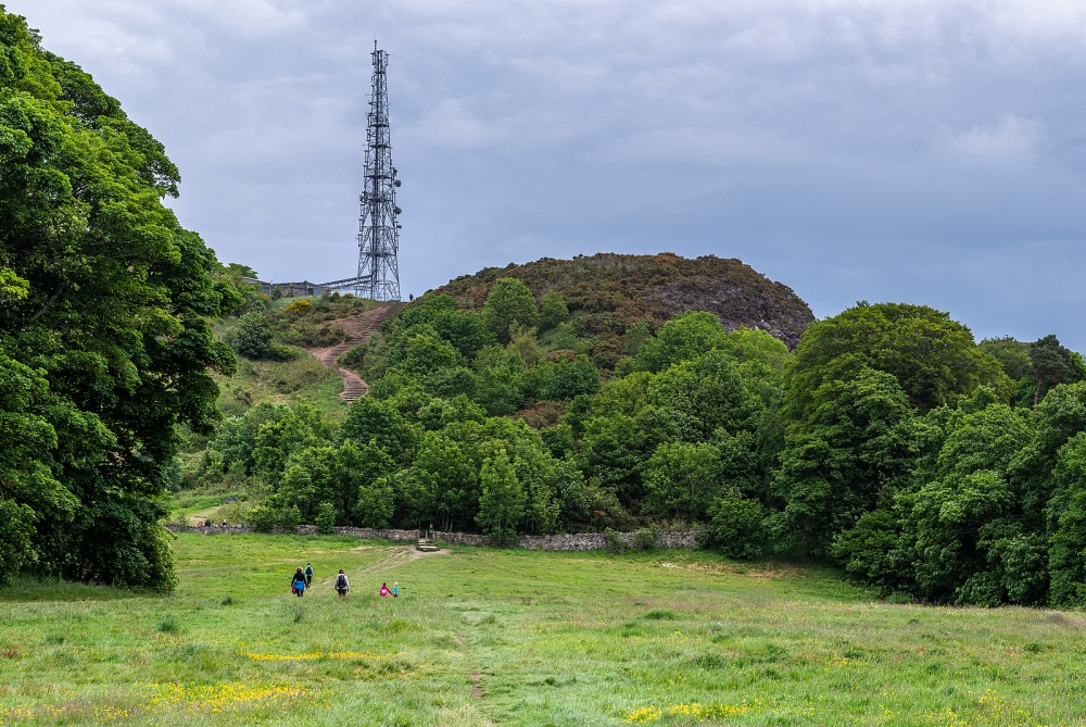
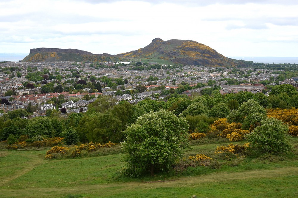
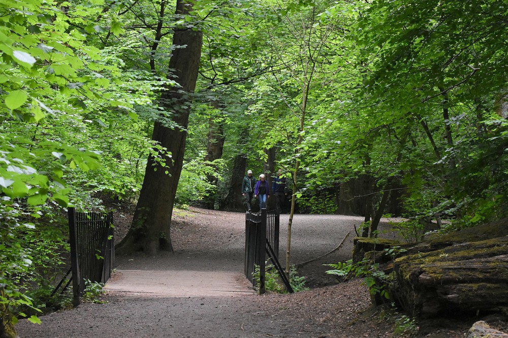
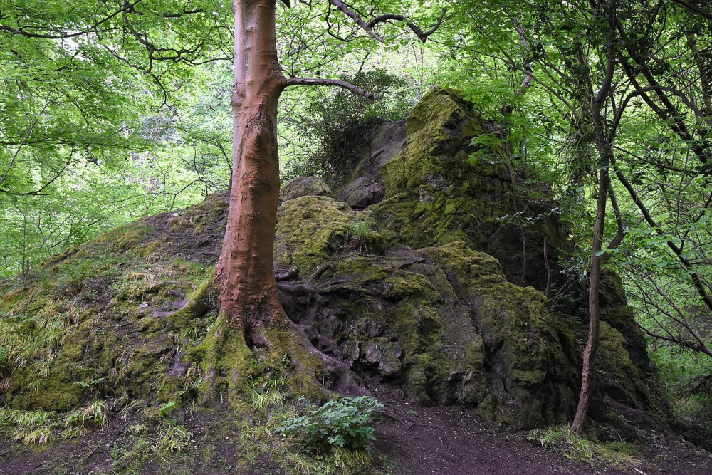
Hill and river valley with varied terrain, close to the city centre.
Managed by the City of Edinburgh Council, this area offers surprising variety very close to the city centre. Blackford Hill itself has open grassland on the top, with steep craggy slopes to the north, west and south, mostly gorse-covered but with some ways through. The Royal Observatory is situated on the hill and there are panoramic views in all directions. The Hermitage of Braid, by contrast, is a wooded river valley, damp in places. The whole area is a Local Nature Reserve and has a good network of paths.
The map has now been extended to the south to include part of the old golf course.
This map is generally used for local events (e.g. Saturday events or Fight With The Night).
There is a Permanent Orienteering Course here.
Virtual Orienteering Courses (VOCs), using the Permanent Orienteering Course (POC) posts, are available as MapRun courses on a smartphone. Full details of the courses available (difficulty, length, and safety advice) and how to access them can be found on the Blackford Hill and the Hermitage page of British Orienteering’s “Go Orienteering” web portal.
Full instructions for accessing and using the MapRun software are included on the Smartphone Orienteering & Permanent Courses page of the Scottish Orienteering website.
Location
/-3.1963,55.922,12/500x400?access_token=pk.eyJ1IjoicGF1bGZyb3N0IiwiYSI6ImNscGg3eGRlMjA0cm8yaW52aGhtY2lxZjQifQ.Lc483ZPI9QPGNrBpcqqywQ)
Near: Edinburgh Lat,Lng: 55.922,-3.1963 OS Grid Ref: NT254706 Postcode: EH10 6BX
Open an interactive map in: GoogleMap - OpenStreetMap - AppleMaps - BingMap
Credit: Crawford Lindsay
Credit: Crawford Lindsay
Credit: Crawford Lindsay
Credit: Crawford Lindsay
Credit: Crawford Lindsay