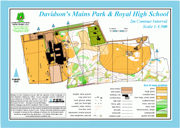
Davidson’s Mains Park and Royal High School map
Information
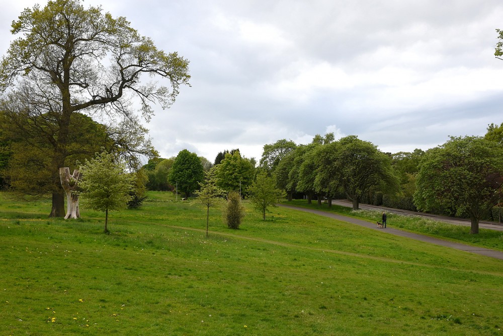
Small area of parkland and woodland in the NW of the city, with the adjoining school grounds.
This area is a small public park, managed by the City of Edinburgh Council, in the NW of Edinburgh (close to Corstorphine Hill). It is a mixture of parkland and rocky woodland with plenty of paths. There is a play area in the centre of the park. The map also includes the buildings and grounds of the neighbouring Royal High School.
Used for local events (e.g. Saturday events).
Location
/-3.2768,55.9632,12/500x400?access_token=pk.eyJ1IjoicGF1bGZyb3N0IiwiYSI6ImNscGg3eGRlMjA0cm8yaW52aGhtY2lxZjQifQ.Lc483ZPI9QPGNrBpcqqywQ)
Near: Edinburgh Lat,Lng: 55.9632,-3.2768 OS Grid Ref: NT203752 Postcode: EH4 7AG
Open an interactive map in: GoogleMap - OpenStreetMap - AppleMaps - BingMap