
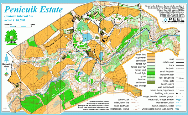
Penicuik Estate map
Information
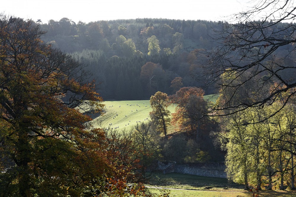
Parkland and mixed woodland on a country estate.
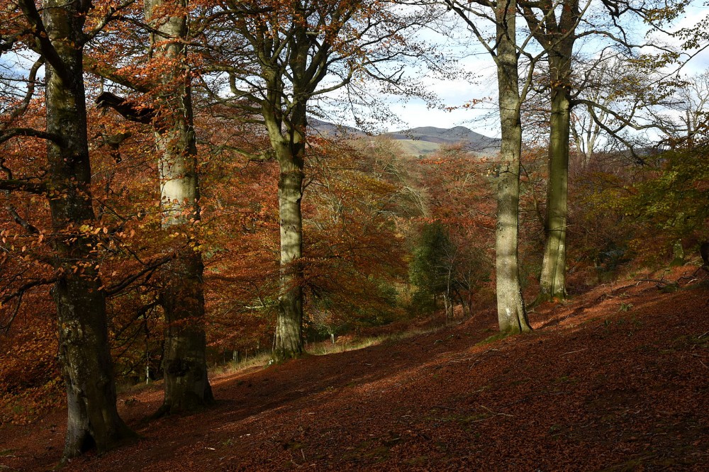
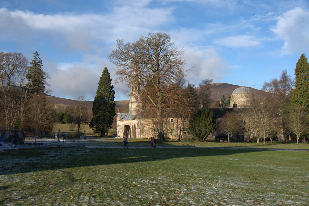
An old country estate with a ruined house at its heart, this area includes the steep-sided valley of the North Esk river, with deciduous and coniferous woodland, as well as open parkland, where there is fast running over short grass. There’s a good path network.
Used for Regional events (e.g. South of Scotland Orienteering League).
Location
/-3.2529,55.8179,12/500x400?access_token=pk.eyJ1IjoicGF1bGZyb3N0IiwiYSI6ImNscGg3eGRlMjA0cm8yaW52aGhtY2lxZjQifQ.Lc483ZPI9QPGNrBpcqqywQ)
Near: Penicuik Lat,Lng: 55.8179,-3.2529 OS Grid Ref: NT215590 Postcode: EH26 9HX
Open an interactive map in: GoogleMap - OpenStreetMap - AppleMaps - BingMap
Credit: Crawford Lindsay
Credit: Crawford Lindsay
Credit: Crawford Lindsay