
South Gyle map
Information
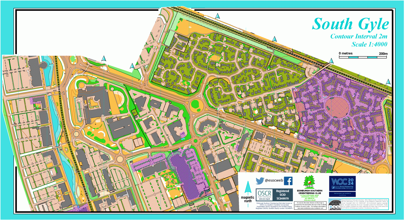
Urban map in west Edinburgh.
South Gyle is a modern housing estate on the west side of the city, and the map also includes Edinburgh Park, a neighbouring business park around an artificial loch. There is a good range of urban terrain, with new housing, pedestrian routes, office buildings in irregular shapes, car parks, many hedges and gardens.
Used for Regional and Local events.
Location
/-3.3061,55.9366,12/500x400?access_token=pk.eyJ1IjoicGF1bGZyb3N0IiwiYSI6ImNscGg3eGRlMjA0cm8yaW52aGhtY2lxZjQifQ.Lc483ZPI9QPGNrBpcqqywQ)
Near: Edinburgh Lat,Lng: 55.9366,-3.3061 OS Grid Ref: NT185723 Postcode: EH12 9JB
Open an interactive map in: GoogleMap - OpenStreetMap - AppleMaps - BingMap