
Cademuir map
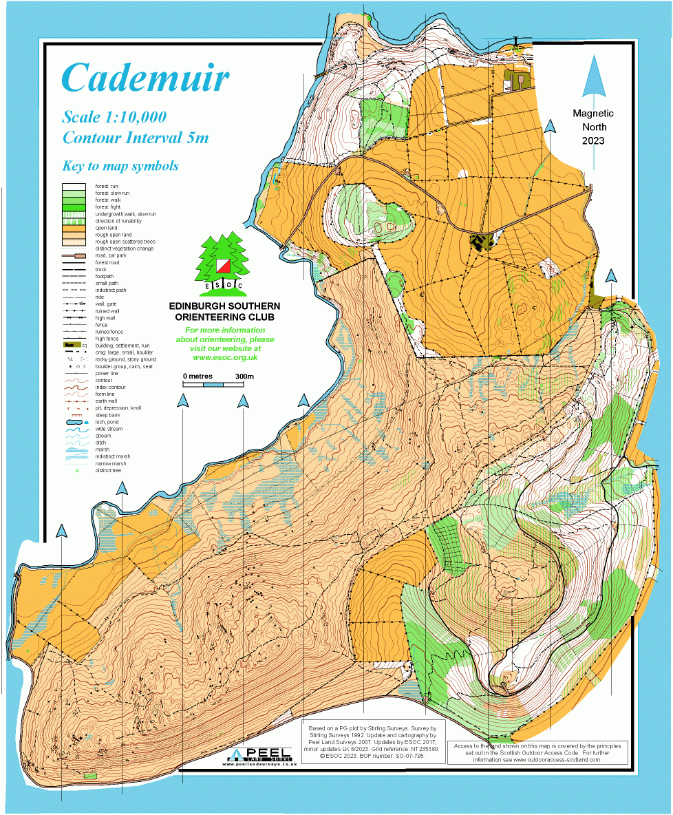
Information
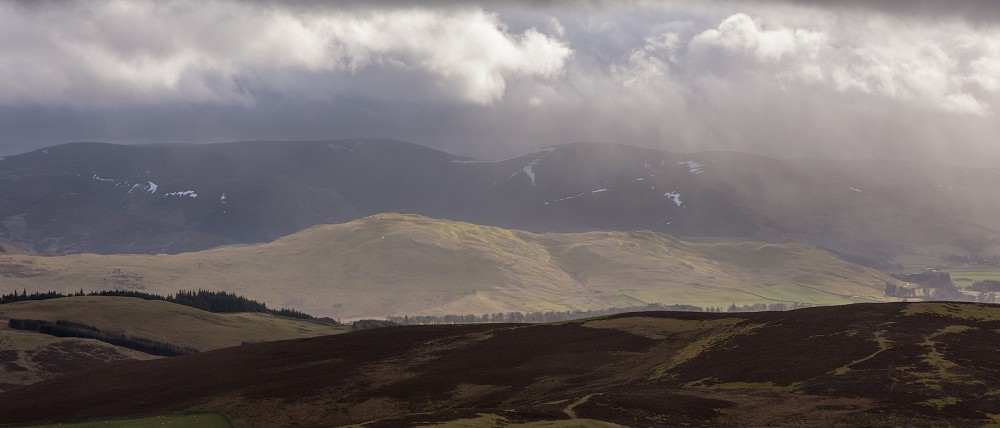
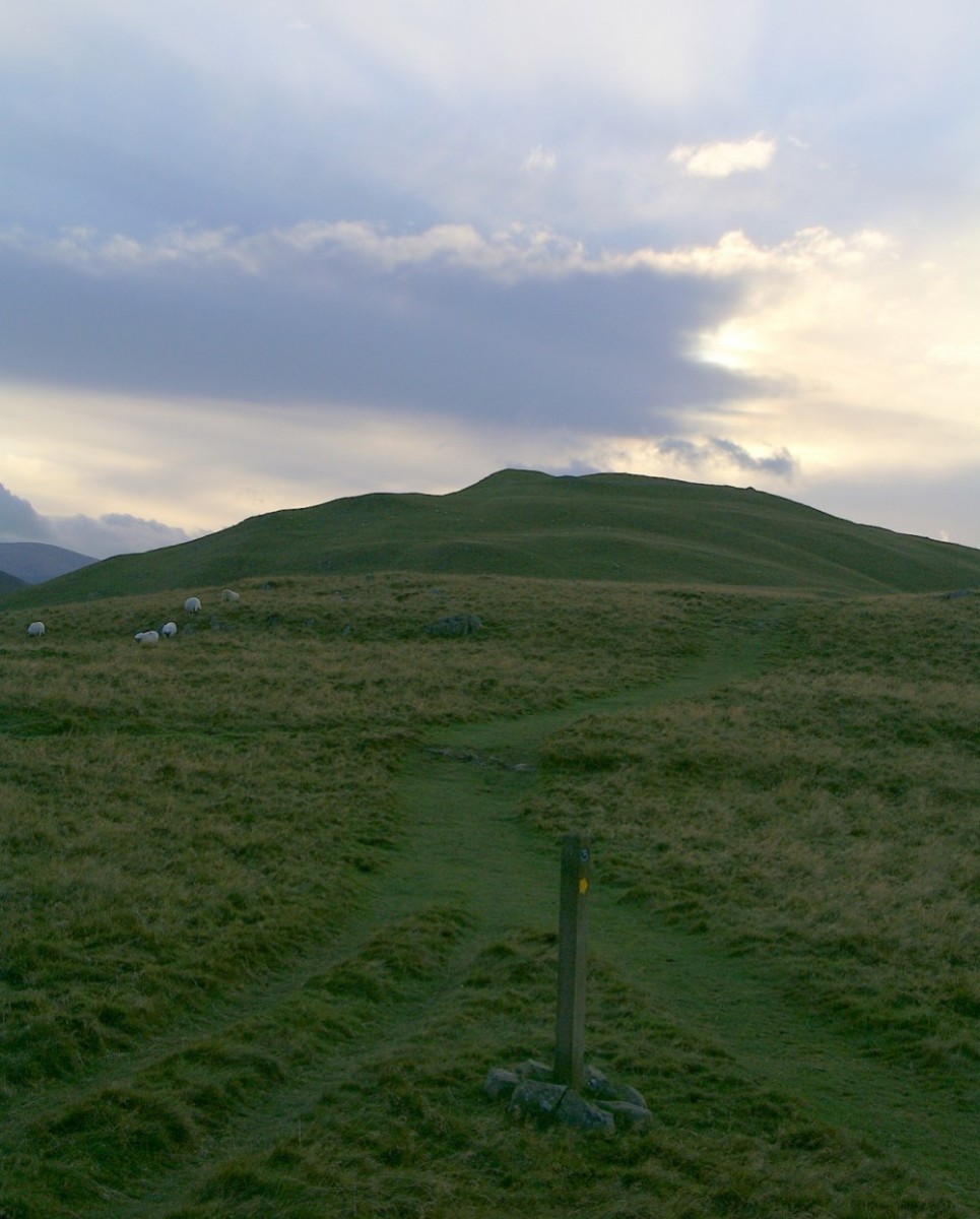
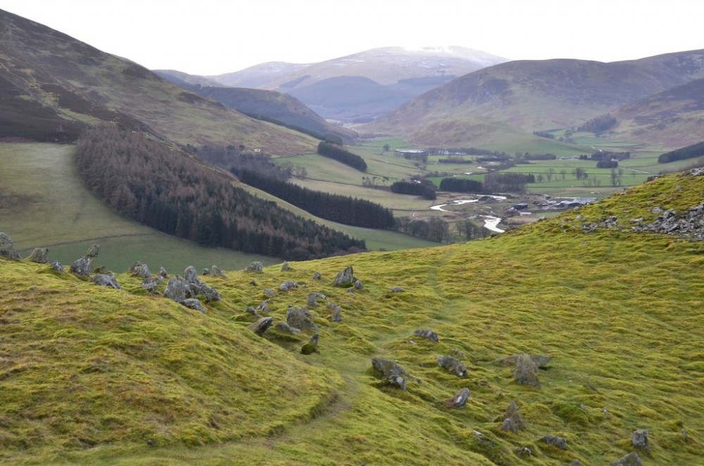
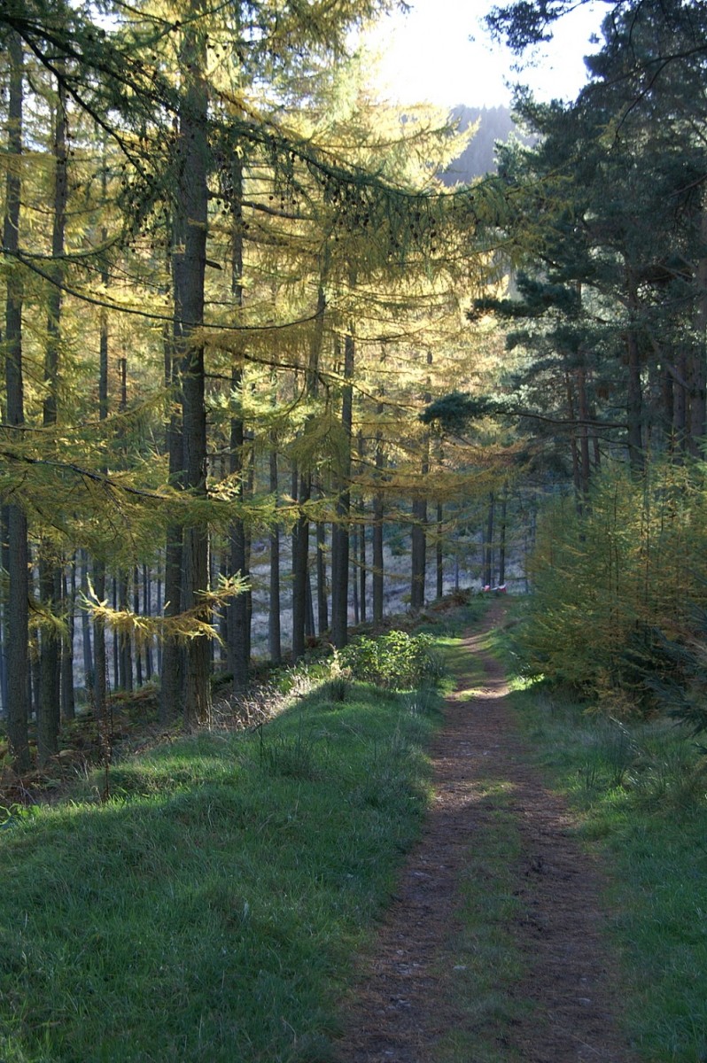
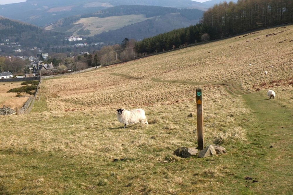
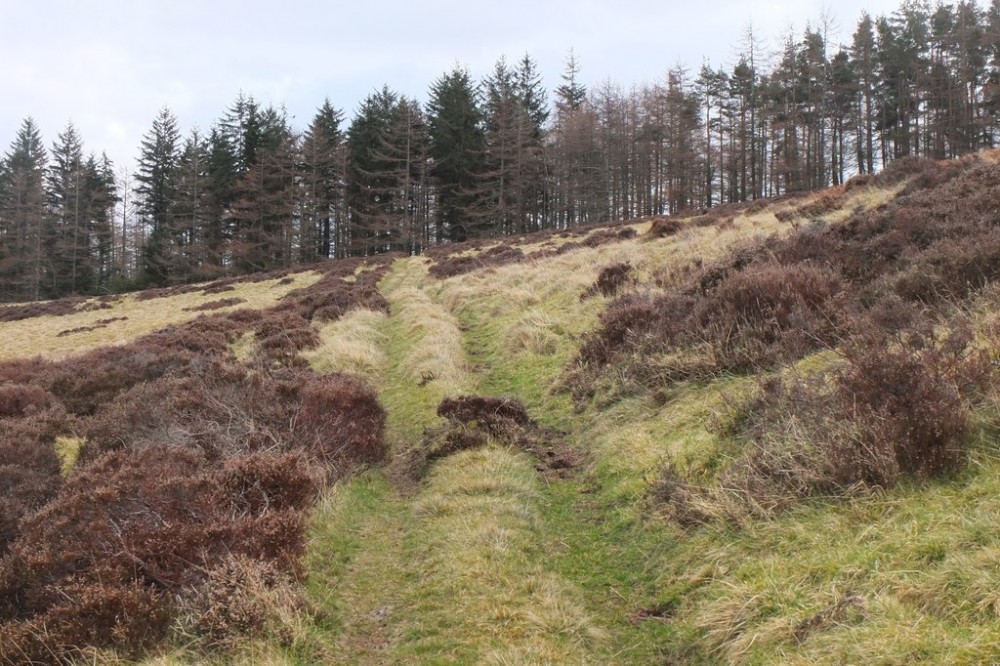
Open hillside, steep and tussocky, with some forest.
Just to the south of Peebles, this area is mostly high open hillside, steep-sided, rough and grassy, with plantation forest on the SE side. Intricate contour and rock detail in places adds to the challenge. There’s an ancient hillfort on top of the hill, known for its chevaux de frise (area of pointed stones to hinder attackers), and there are panoramic views.
Used for Regional events (e.g. South of Scotland Orienteering League).
Location
/-3.2151,55.6295,12/500x400?access_token=pk.eyJ1IjoicGF1bGZyb3N0IiwiYSI6ImNscGg3eGRlMjA0cm8yaW52aGhtY2lxZjQifQ.Lc483ZPI9QPGNrBpcqqywQ)
Near: Peebles Lat,Lng: 55.6295,-3.2151 OS Grid Ref: NT235380 Postcode: EH45 9JE
Open an interactive map in: GoogleMap - OpenStreetMap - AppleMaps - BingMap
Credit: Crawford Lindsay
Credit: Crawford Lindsay
Credit: Jim Barton
Credit: Crawford Lindsay
Credit: Jim Barton
Credit: Jim Barton