
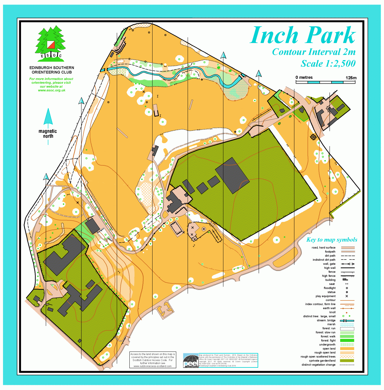
Inch Park map
Information
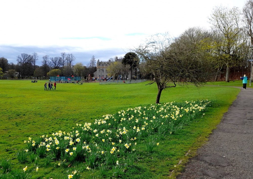
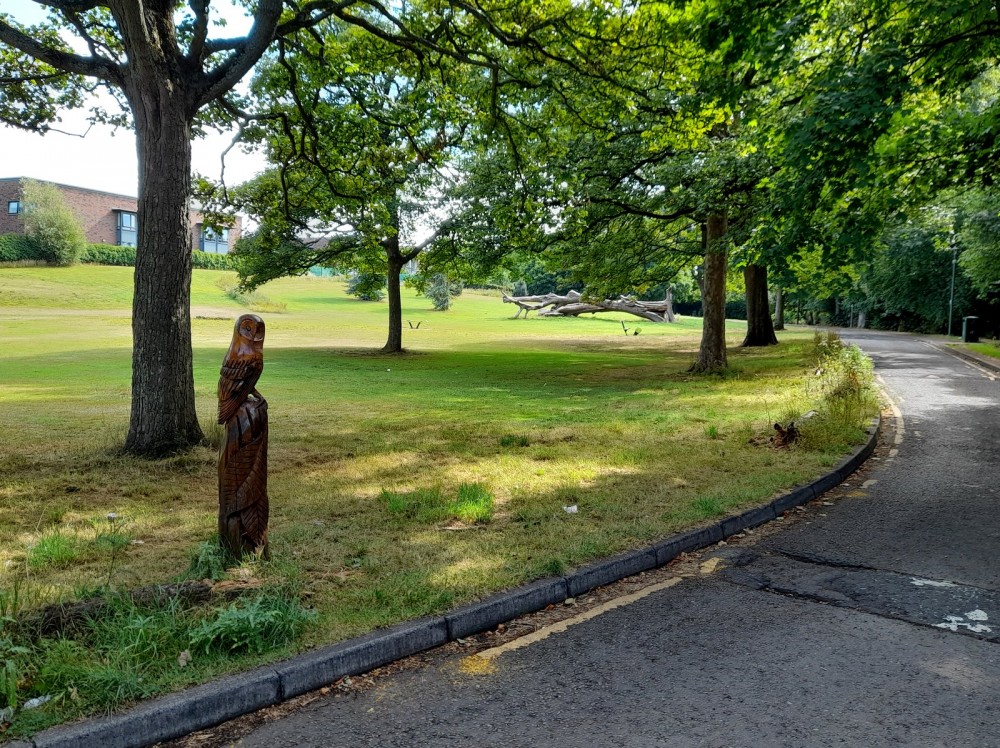
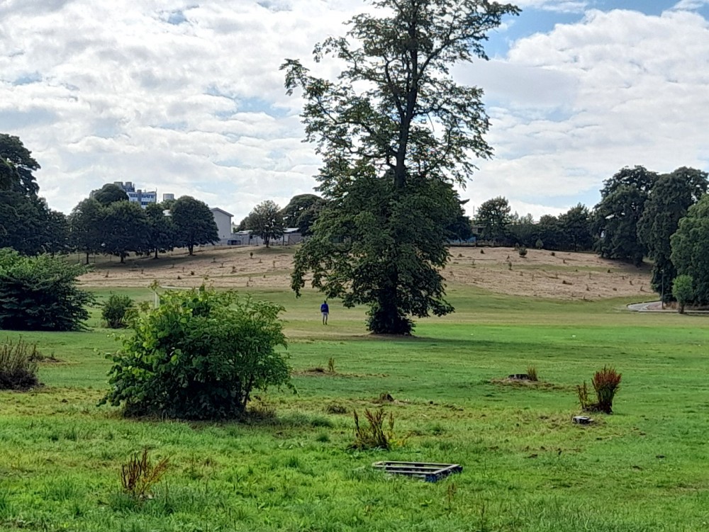
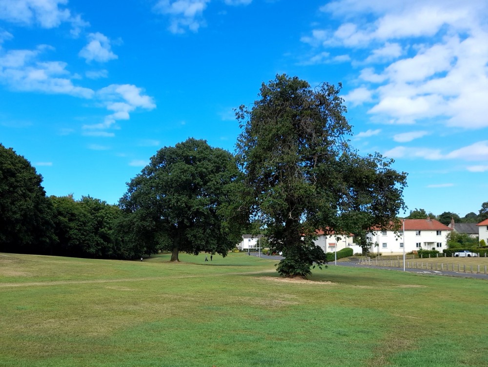
Large city park with open areas and pockets of woodland
Inch Park is SE of the centre of Edinburgh. Managed by the City of Edinburgh Council, it has extensive grassed areas with woodland borders and small copses, and is mostly fairly flat. The Braid Burn runs across the northern part - “inch” is the old word for low-lying land near a river. In the middle of the park is Inch House, now a community centre, which dates from the 17th Century.
There are Virtual Orienteering Courses (VOCs) here. They are available as MapRun courses on a smartphone. Unlike Permanent Orienteering Courses, the control sites are virtual, i.e. there are no markers or posts on the ground. Full details of the courses available (difficulty, length, and safety advice) and how to access them can be found on the Inch Park page of British Orienteering’s “Go Orienteering” web portal.
Full instructions for accessing/using the MapRun software are included on the Smartphone Orienteering & Permanent Courses page of the Scottish Orienteering website.
Location
/-3.1589,55.9254,12/500x400?access_token=pk.eyJ1IjoicGF1bGZyb3N0IiwiYSI6ImNscGg3eGRlMjA0cm8yaW52aGhtY2lxZjQifQ.Lc483ZPI9QPGNrBpcqqywQ)
Near: Edinburgh Lat,Lng: 55.9254,-3.1589 OS Grid Ref: NT276708 Postcode: EH16 5RA
Open an interactive map in: GoogleMap - OpenStreetMap - AppleMaps - BingMap
Credit: Sally Lindsay
Credit: Sally Lindsay
Credit: Sally Lindsay
Credit: Sally Lindsay