
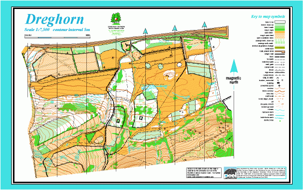
Dreghorn map
Information
Rough open fields and woodland on the northern edge of the Pentland Hills.
This map adjoins the Bonaly Park map. It covers tussocky grassland at the foot of the Pentlands, wooded slopes further up, and open hillside, sometimes very steep with patches of gorse. There is a network of tracks and paths.
Used mainly for local events.
MapRun courses are available here.
Location
/-3.2379,55.8971,12/500x400?access_token=pk.eyJ1IjoicGF1bGZyb3N0IiwiYSI6ImNscGg3eGRlMjA0cm8yaW52aGhtY2lxZjQifQ.Lc483ZPI9QPGNrBpcqqywQ)
Near: Edinburgh Lat,Lng: 55.8971,-3.2379 OS Grid Ref: NT224675 Postcode: EH10 7HH
Open an interactive map in: GoogleMap - OpenStreetMap - AppleMaps - BingMap
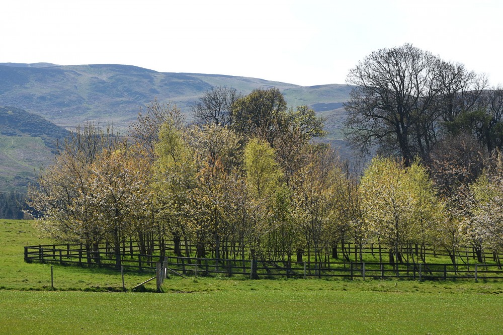
Credit: Crawford Lindsay
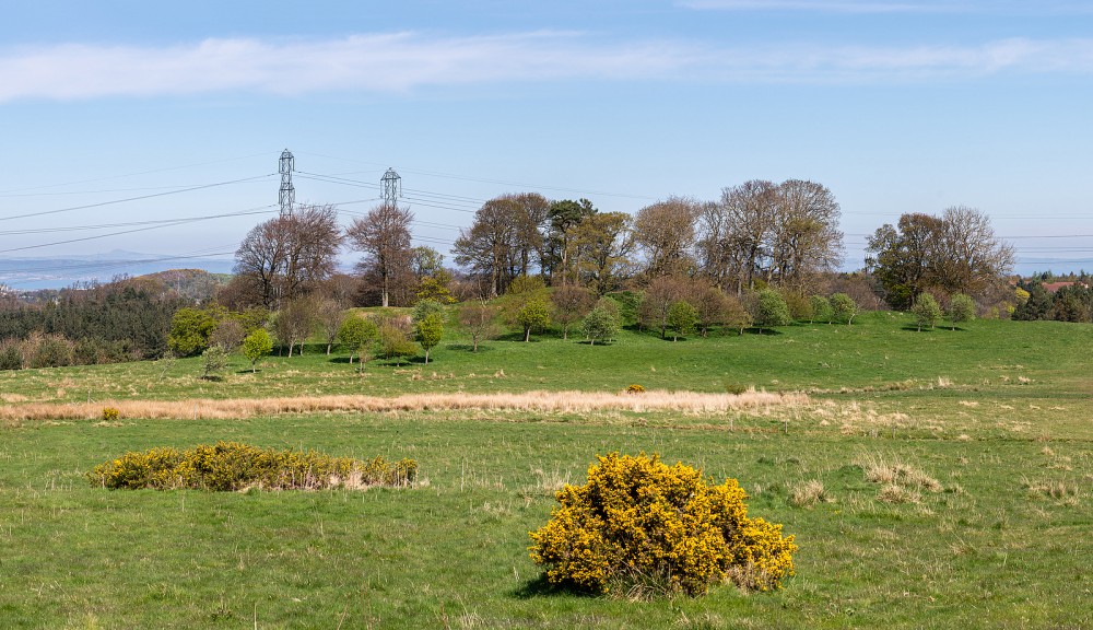
Credit: Crawford Lindsay
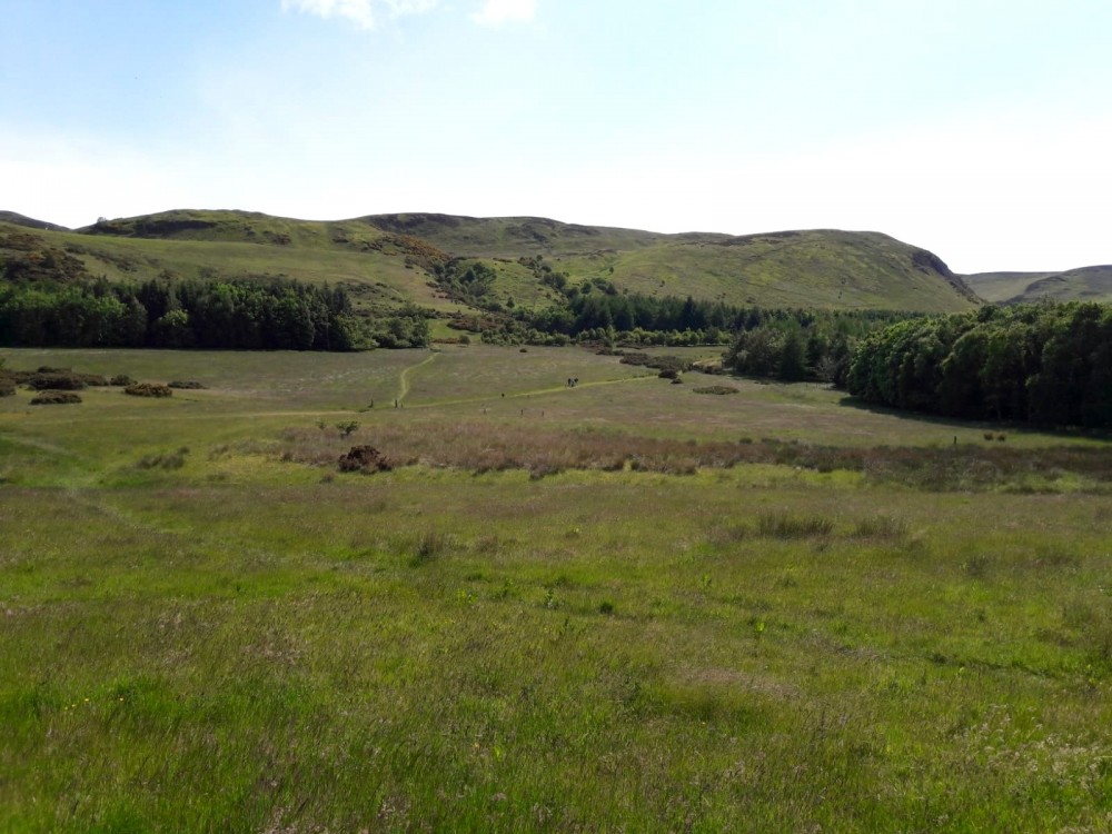
Credit: Robert Findlay