
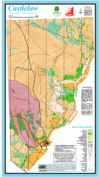
Castlelaw map
Information
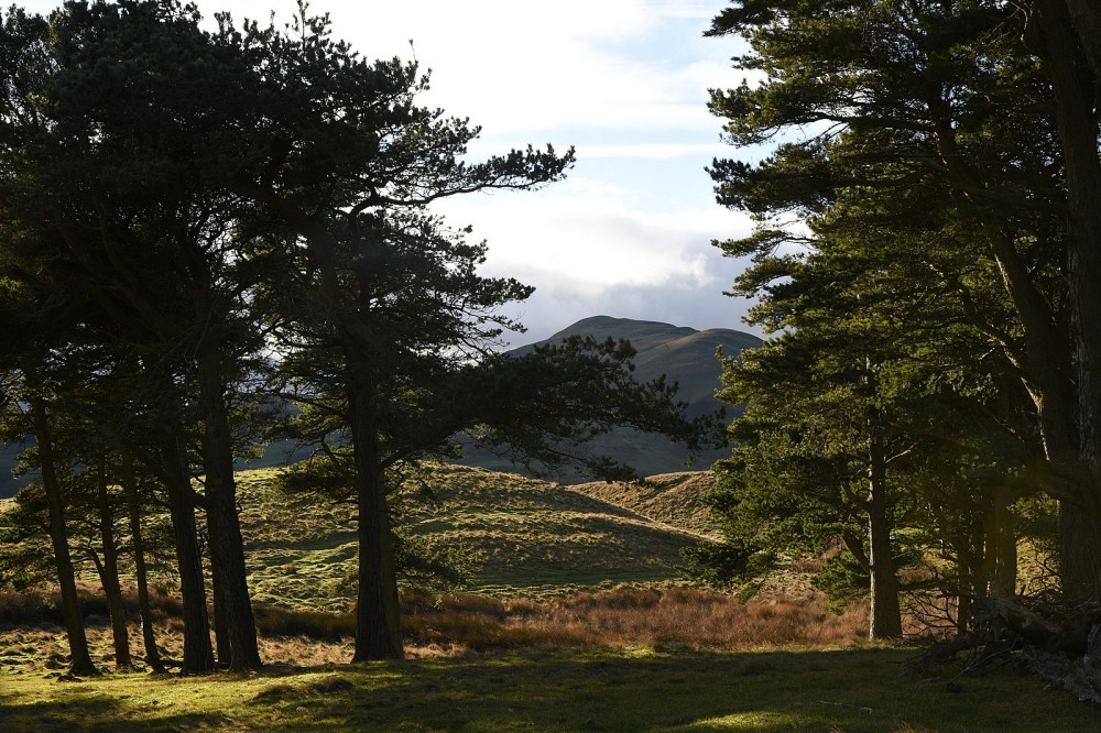
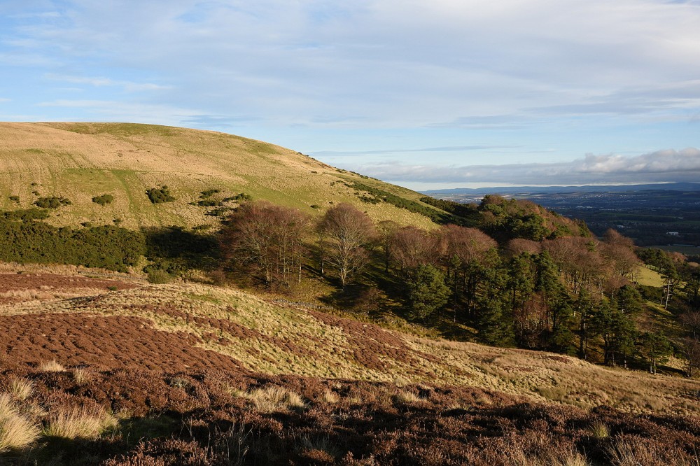
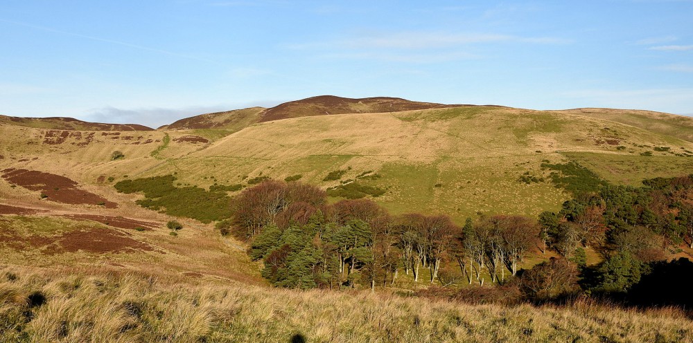
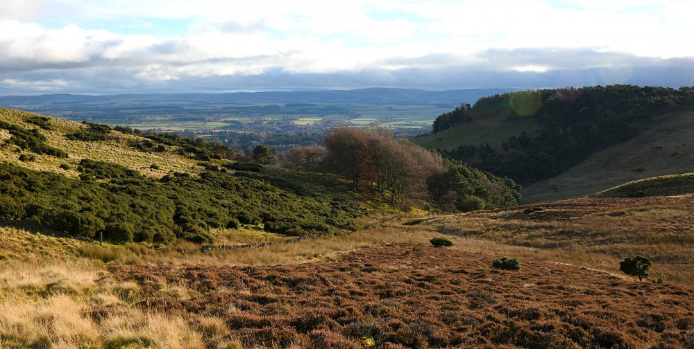
Open hillsides on the fringe of the Pentlands, with some wooded parts.
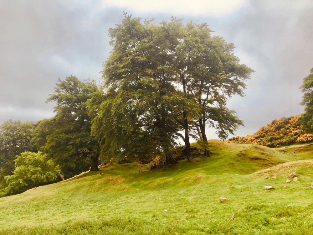
This area is on the SE side of the Pentlands, near Penicuik, adjacent to the Castlelaw firing ranges. It includes the Iron Age Castlelaw hill fort and souterrain, which is in the care of Historic Environment Scotland. Most of the area is steeply sloping rough pastureland with pockets of deciduous woodland and some gorse. There are some hill tracks.
This map is used mainly for local events or training.
There is a Permanent Orienteering Course here.
Virtual Orienteering Courses (VOCs), using the Permanent Orienteering Course (POC) posts, are available as MapRun courses on a smartphone. Full details of the courses available (difficulty, length, and safety advice) and how to access them can be found on the Castlelaw page of British Orienteering’s “Go Orienteering” web portal.
Full instructions for accessing/using the MapRun software are included on the Smartphone Orienteering & Permanent Courses page of the Scottish Orienteering website.
Location
/-3.2318,55.8613,12/500x400?access_token=pk.eyJ1IjoicGF1bGZyb3N0IiwiYSI6ImNscGg3eGRlMjA0cm8yaW52aGhtY2lxZjQifQ.Lc483ZPI9QPGNrBpcqqywQ)
Near: Edinburgh Lat,Lng: 55.8613,-3.2318 OS Grid Ref: NT230647 Postcode: EH26 0PB
Open an interactive map in: GoogleMap - OpenStreetMap - AppleMaps - BingMap
Credit: Crawford Lindsay
Credit: Walter Clark
Credit: Crawford Lindsay
Credit: Crawford Lindsay
Credit: Crawford Lindsay