
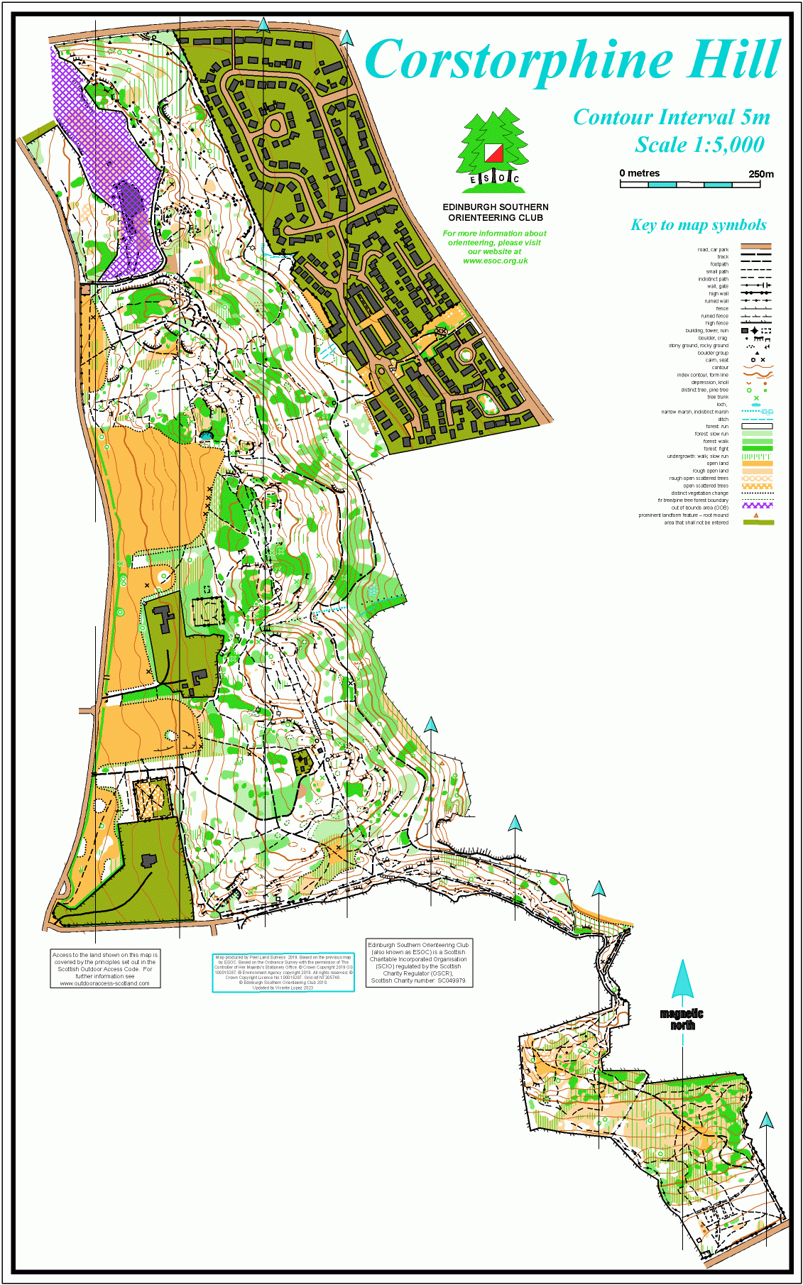
Corstorphine Hill map
Information
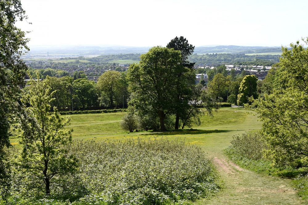
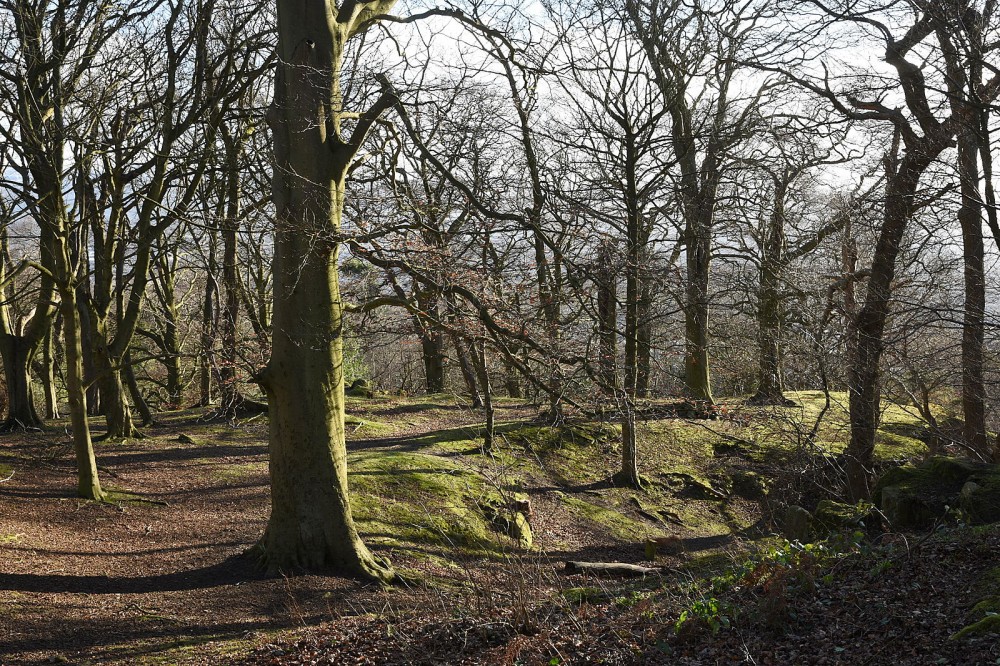
Wooded hill with some steep slopes and open grassy areas. Also includes streets to the NE.
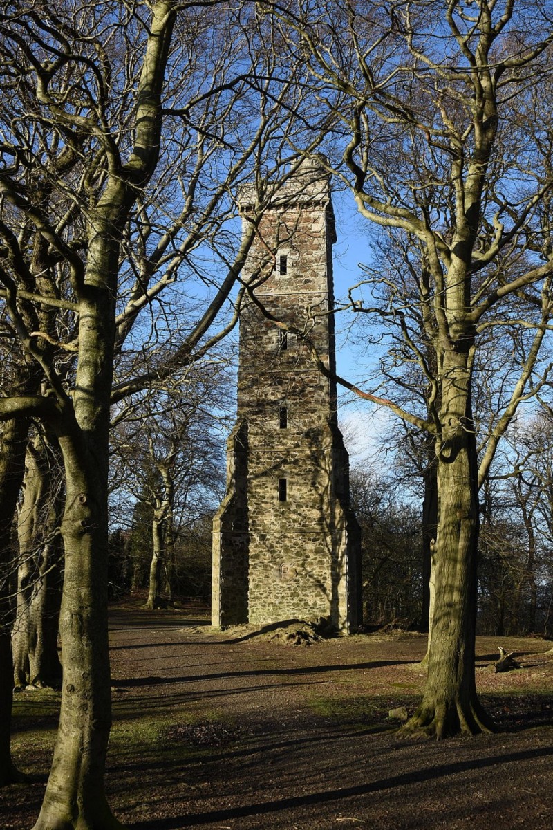
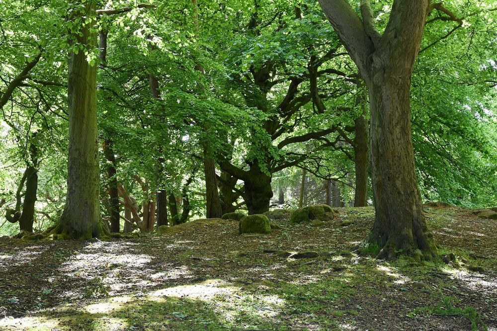
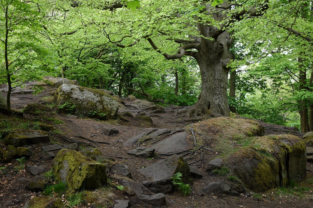
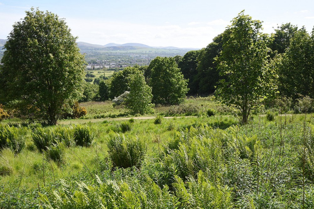
This is a long thin area in the west of the city, bordering the Zoo. It’s a Local Nature Reserve, managed by the City of Edinburgh Council, and is mostly wooded, with some steep slopes to the east, and open grassy areas on the western side. There are lots of rock features throughout the area. The southern extension to the map is less rocky, a mixture of open and wooded terrain. There’s a good path network throughout. The urban area is a mix of older and modern properties with a few pedestrian shortcuts.
This map is used mainly for local events (e.g. Saturday events) or training.
There is a Permanent Orienteering Course here.
Virtual Orienteering Courses (VOCs), using the Permanent Orienteering Course (POC) posts, are available as MapRun courses on a smartphone. Full details of the courses available (difficulty, length, and safety advice) and how to access them can be found on the Corstorphine Hill page of British Orienteering’s “Go Orienteering” web portal.
Full instructions for accessing/using the MapRun software are included on the Smartphone Orienteering & Permanent Courses page of the Scottish Orienteering website.
Location
/-3.272,55.9528,12/500x400?access_token=pk.eyJ1IjoicGF1bGZyb3N0IiwiYSI6ImNscGg3eGRlMjA0cm8yaW52aGhtY2lxZjQifQ.Lc483ZPI9QPGNrBpcqqywQ)
Near: Edinburgh Lat,Lng: 55.9528,-3.272 OS Grid Ref: NT206738 Postcode: EH4 5DB
Open an interactive map in: GoogleMap - OpenStreetMap - AppleMaps - BingMap
Credit: Crawford Lindsay

Credit: Crawford Lindsay
Credit: Crawford Lindsay
Credit: Crawford Lindsay
Credit: Crawford Lindsay
Credit: Crawford Lindsay
Credit: Crawford Lindsay