
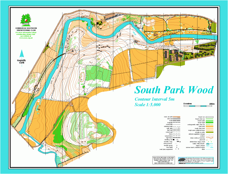
South Park Wood map
Information
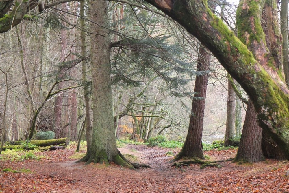
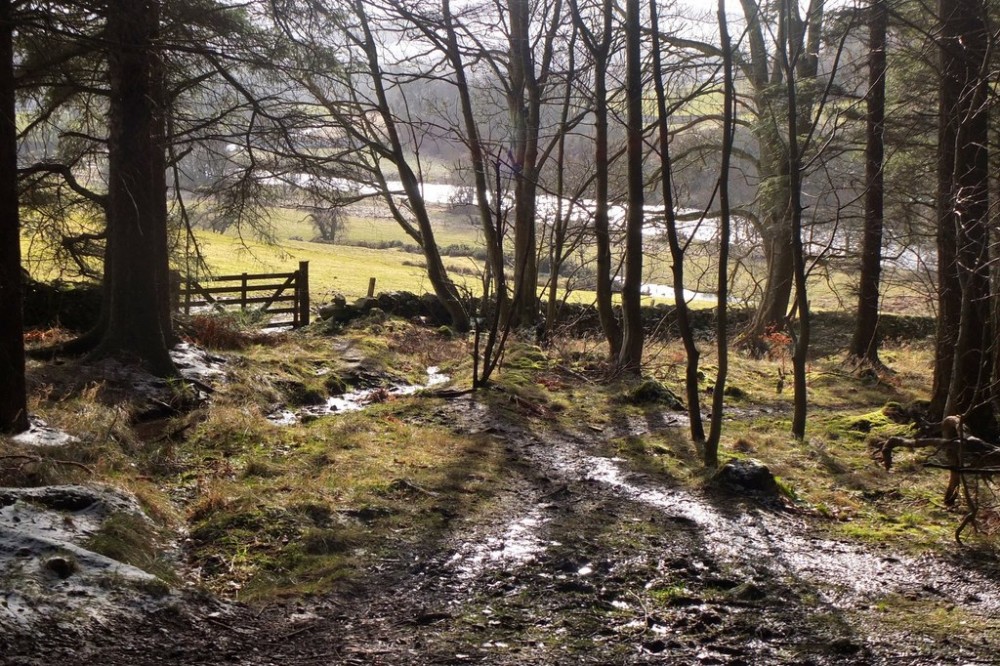
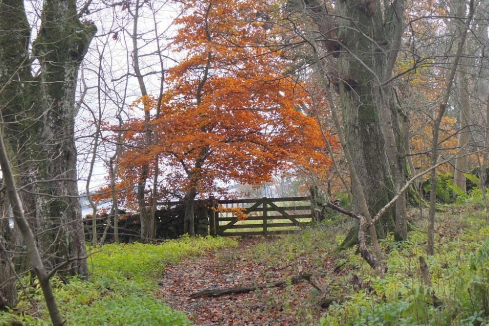
Wooded hills by the Tweed near Peebles
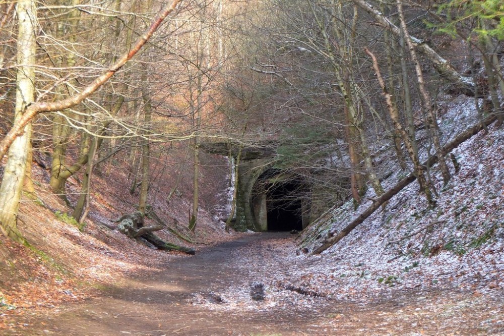
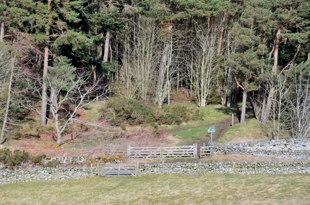
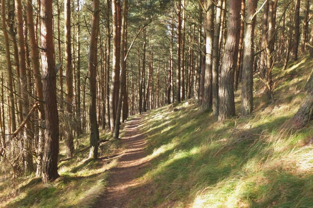
South Park Wood is on the south side of the River Tweed. The map covers two wooded hills and neighbouring fields, and also land on the north side of the river, including Hay Lodge Park. The woods have a variety of trees including larch, Scots pine, Norway spruce, Douglas fir, birch and some sycamore, beech and oak. Interesting features include a disused railway line (the Peebles branch line of the Caledonian Railway), the Neidpath Viaduct and tunnel, as well as Neidpath Castle, dating back to the 14th Century, on the north bank of the river.
There are Virtual Orienteering Courses (VOCs) here. They are available as MapRun courses on a smartphone. Unlike Permanent Orienteering Courses, the control sites are virtual, i.e. there are no markers or posts on the ground. Full details of the courses available (difficulty, length, and safety advice) and how to access them can be found on the Hay Lodge Park & South Park Wood page of British Orienteering’s “Go Orienteering” web portal.
Full instructions for accessing/using the MapRun software are included on the Smartphone Orienteering & Permanent Courses page of the Scottish Orienteering website.
Location
/-3.218,55.6506,12/500x400?access_token=pk.eyJ1IjoicGF1bGZyb3N0IiwiYSI6ImNscGg3eGRlMjA0cm8yaW52aGhtY2lxZjQifQ.Lc483ZPI9QPGNrBpcqqywQ)
Near: Peebles Lat,Lng: 55.6506,-3.218 OS Grid Ref: NT235400 Postcode: EH45 9ST
Open an interactive map in: GoogleMap - OpenStreetMap - AppleMaps - BingMap
Credit: Jim Barton
Credit: Jim Barton
Credit: Jim Barton
Credit: Jim Barton
Credit: Jim Barton
Credit: Jim Barton