
Cramond Island map
Information
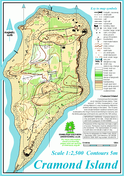
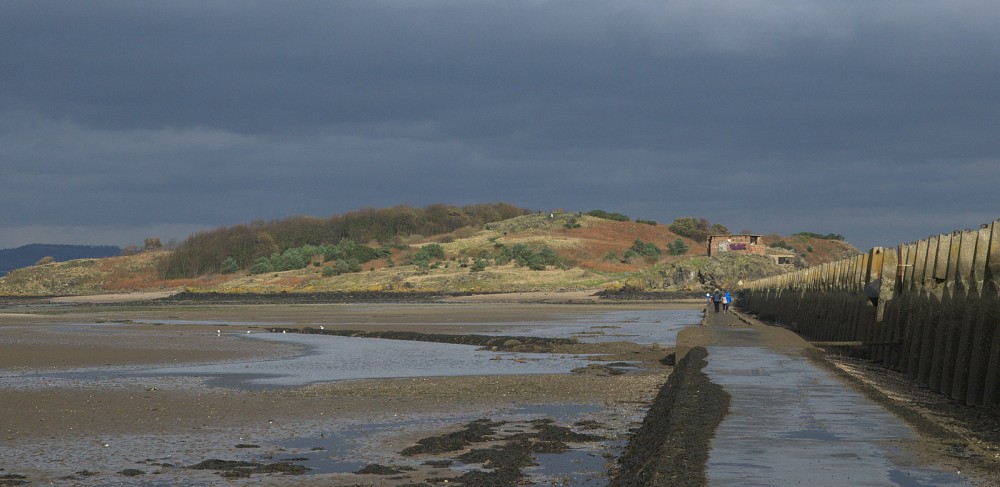
Tidal island, mostly rough open land, with some interesting features.
Cramond Island is in the Firth of Forth, connected to the mainland via a tidal causeway about 1.5 km long. The area is mainly rough open land, with some patches of woodland, ruined buildings and wartime defences, and the stony shoreline. There are small paths all over the island.
Used for club socials.
Location
/-3.2891,55.9936,12/500x400?access_token=pk.eyJ1IjoicGF1bGZyb3N0IiwiYSI6ImNscGg3eGRlMjA0cm8yaW52aGhtY2lxZjQifQ.Lc483ZPI9QPGNrBpcqqywQ)
Near: Edinburgh Lat,Lng: 55.9936,-3.2891 OS Grid Ref: NT196786 Postcode: EH4 6NU
Open an interactive map in: GoogleMap - OpenStreetMap - AppleMaps - BingMap
Credit: Crawford Lindsay