
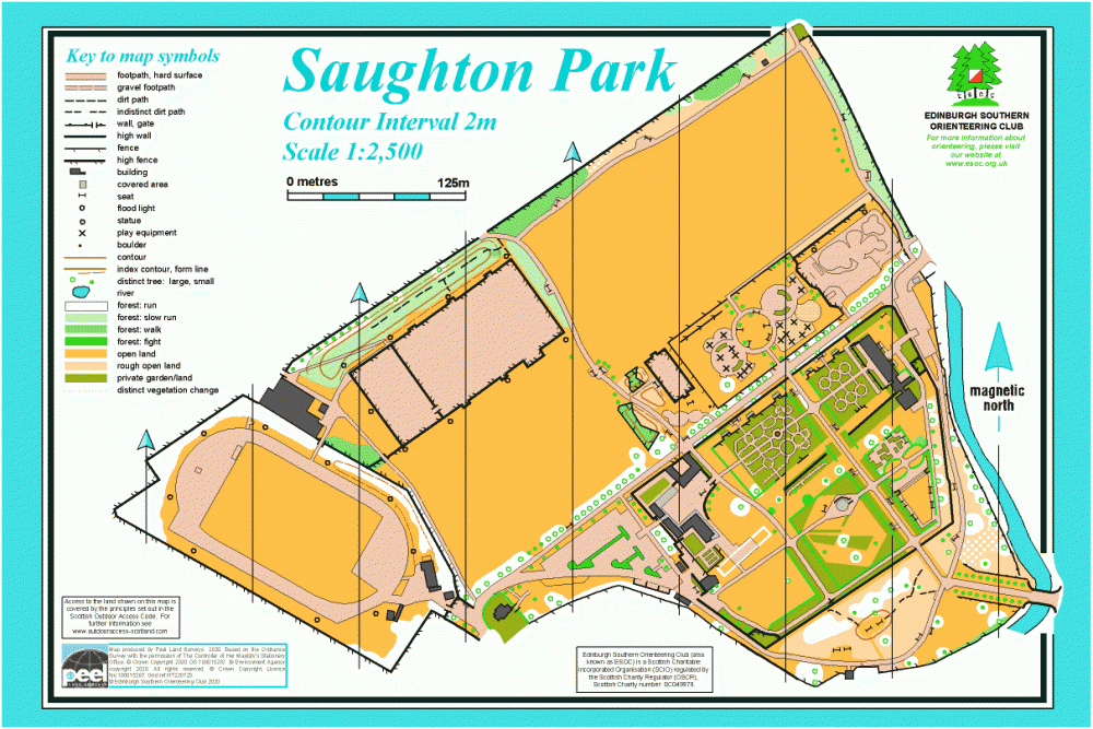
Saughton Park map
Information
Park and formal gardens west of the city centre.
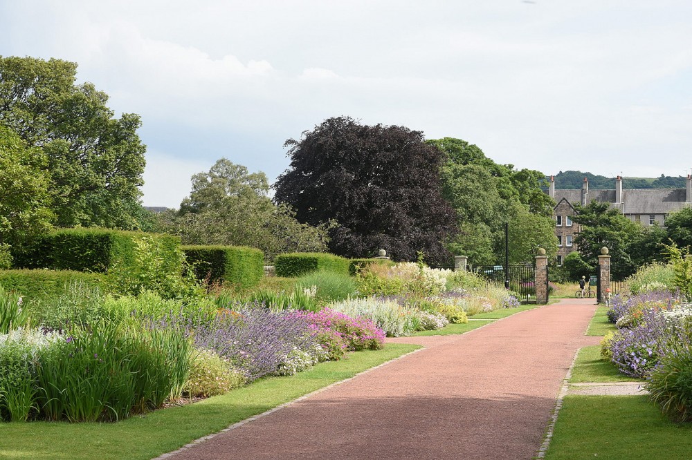
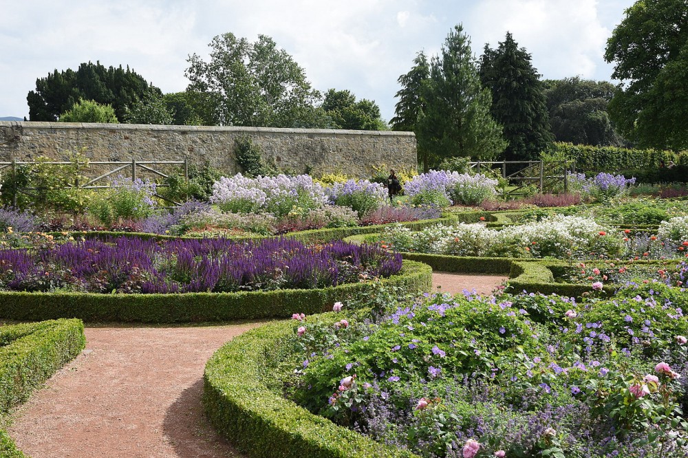
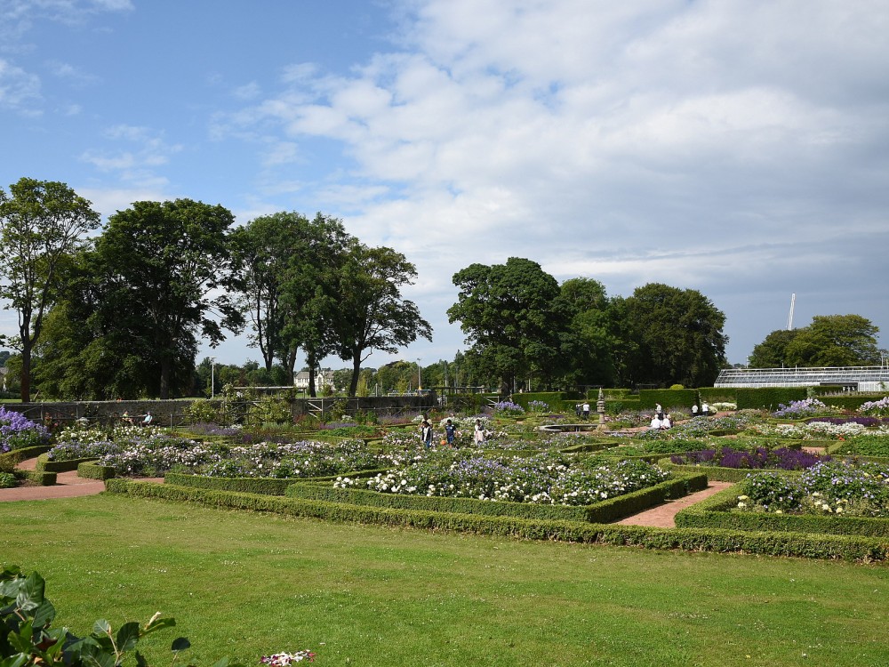
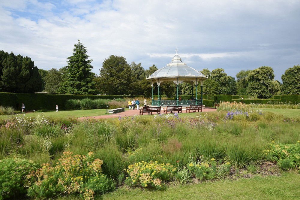
Managed by the City of Edinburgh Council, Saughton Park covers 34 acres and has recently undergone a major restoration project. The northwest of the map has a large amount of flat open space with playing fields, athletics track, skateboard park and play area. The southeast part covers the formal gardens, which have many detailed features including a large herbaceous border, flower and heather beds, rose gardens, a sunken Italian garden, a bandstand, and many yew hedges. There are various buildings including a café and winter gardens. The Water of Leith flows along the east side of the park.
In 1908, Saughton was the site of the great Scottish National Exhibition, and the park opened to the public in 1910.
There are Virtual Orienteering Courses (VOCs) here. They are available as MapRun courses on a smartphone. Unlike Permanent Orienteering Courses, the control sites are virtual, i.e. there are no markers or posts on the ground. Full details of the courses available (difficulty, length, and safety advice) and how to access them can be found on the Saughton Park page of British Orienteering’s “Go Orienteering” web portal.
Full instructions for accessing/using the MapRun software are included on the Smartphone Orienteering & Permanent Courses page of the Scottish Orienteering website.
Location
/-3.2503,55.9346,12/500x400?access_token=pk.eyJ1IjoicGF1bGZyb3N0IiwiYSI6ImNscGg3eGRlMjA0cm8yaW52aGhtY2lxZjQifQ.Lc483ZPI9QPGNrBpcqqywQ)
Near: Edinburgh Lat,Lng: 55.9346,-3.2503 OS Grid Ref: NT221719 Postcode: EH11 3BS
Open an interactive map in: GoogleMap - OpenStreetMap - AppleMaps - BingMap
Credit: Crawford Lindsay
Credit: Crawford Lindsay
Credit: Crawford Lindsay
Credit: Crawford Lindsay

Credit: Crawford Lindsay