
Figgate Park map
Information
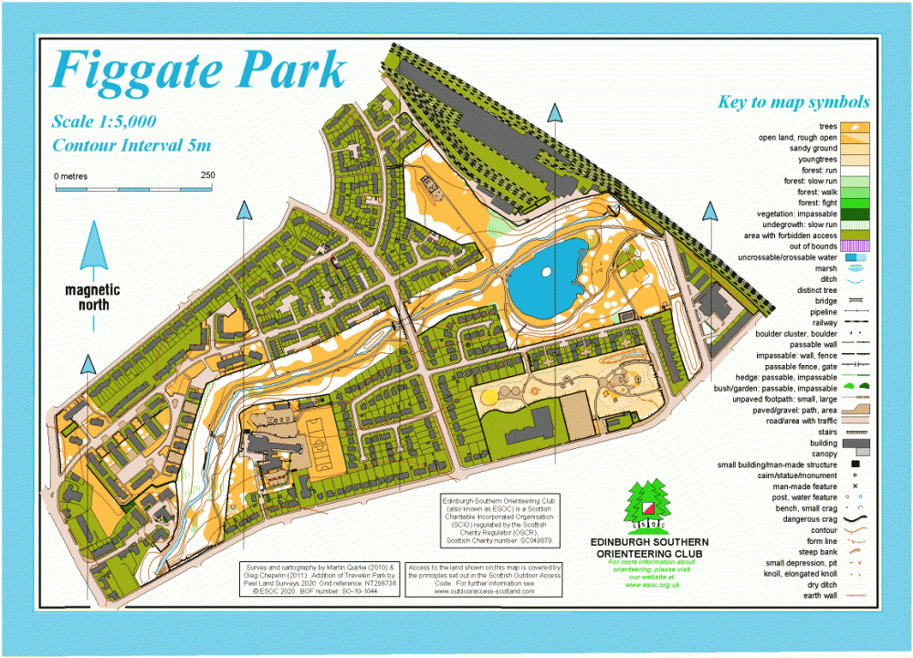
City park around a pond and along the Figgate Burn, plus surrounding residential streets.
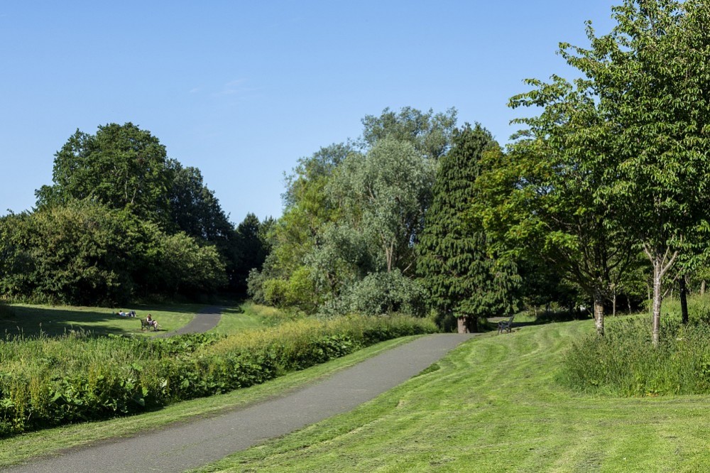
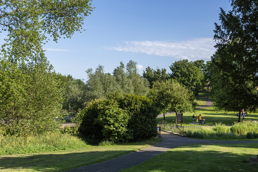
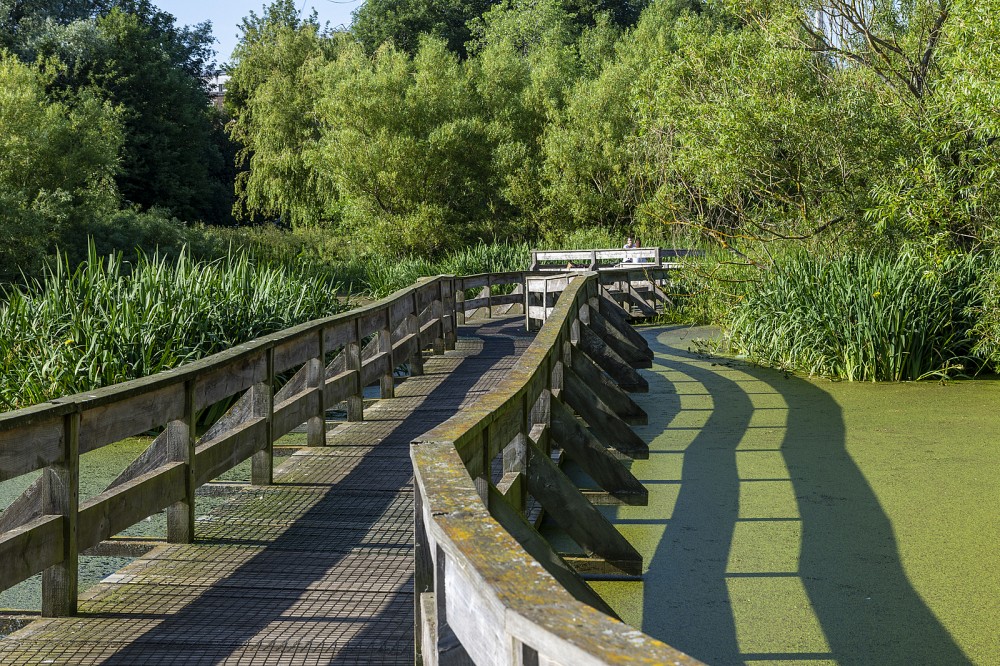
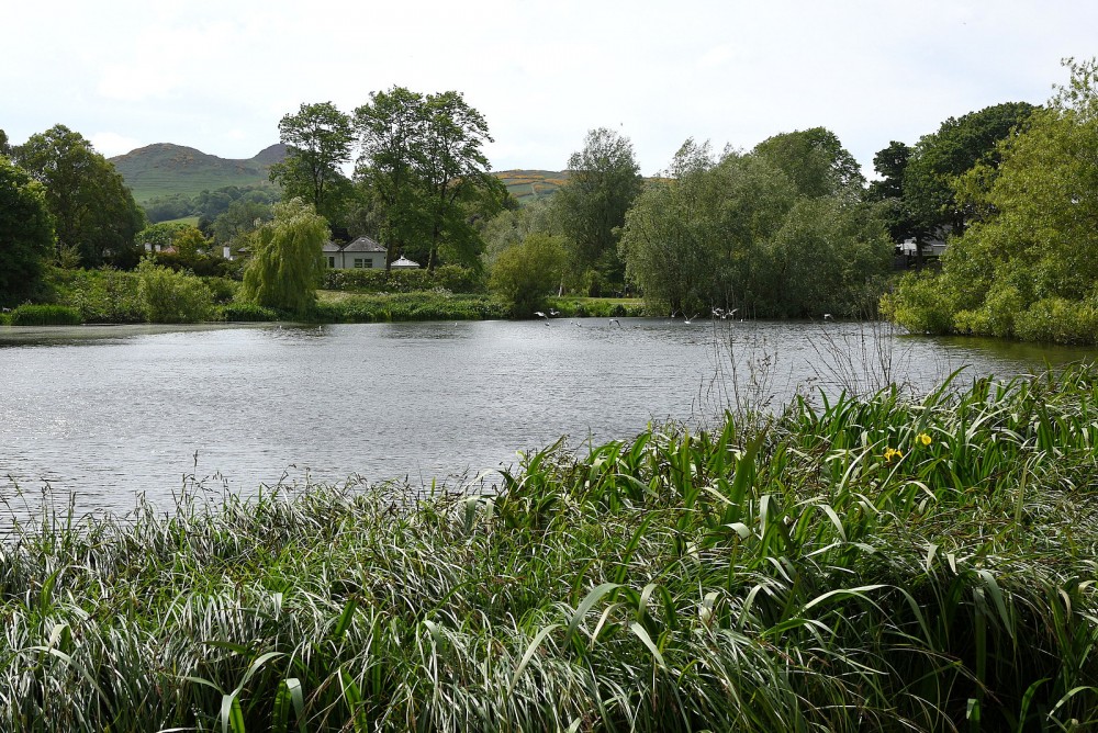
Figgate Park is managed by the City of Edinburgh Council and has open grassland with patches of woodland and wildflower meadows. There are paths along both sides of the Figgate Burn, crossed by several bridges. The pond has many water birds, with a boardwalk at one side. The map also covers the surrounding streets on the north and south sides of the park, including two primary schools and the recently opened Treverlen Park, which has interesting features such as climbing boulders.
Used for local events.
Location
/-3.1256,55.9504,12/500x400?access_token=pk.eyJ1IjoicGF1bGZyb3N0IiwiYSI6ImNscGg3eGRlMjA0cm8yaW52aGhtY2lxZjQifQ.Lc483ZPI9QPGNrBpcqqywQ)
Near: Edinburgh Lat,Lng: 55.9504,-3.1256 OS Grid Ref: NT299736 Postcode: EH15 1NW
Open an interactive map in: GoogleMap - OpenStreetMap - AppleMaps - BingMap
Credit: Sally Lindsay
Credit: Sally Lindsay
Credit: Sally Lindsay
Credit: Crawford Lindsay