
Dalkeith Park map

Information
Woodland, farmland and parkland on a country estate along two rivers.
This is one of the Buccleuch estates, and lies at the confluence of the North and South Esk rivers, which run in deep valleys. The terrain is a mixture of woodland, fields and open parkland with an extensive path network. There are some interesting ruined buildings, as well as visitor facilities including a cafe and shop.
Used for Regional events (e.g. South of Scotland Orienteering League).
Location
/-3.0636,55.8987,12/500x400?access_token=pk.eyJ1IjoicGF1bGZyb3N0IiwiYSI6ImNscGg3eGRlMjA0cm8yaW52aGhtY2lxZjQifQ.Lc483ZPI9QPGNrBpcqqywQ)
Near: Dalkeith Lat,Lng: 55.8987,-3.0636 OS Grid Ref: NT335684 Postcode: EH22 1BU
Open an interactive map in: GoogleMap - OpenStreetMap - AppleMaps - BingMap
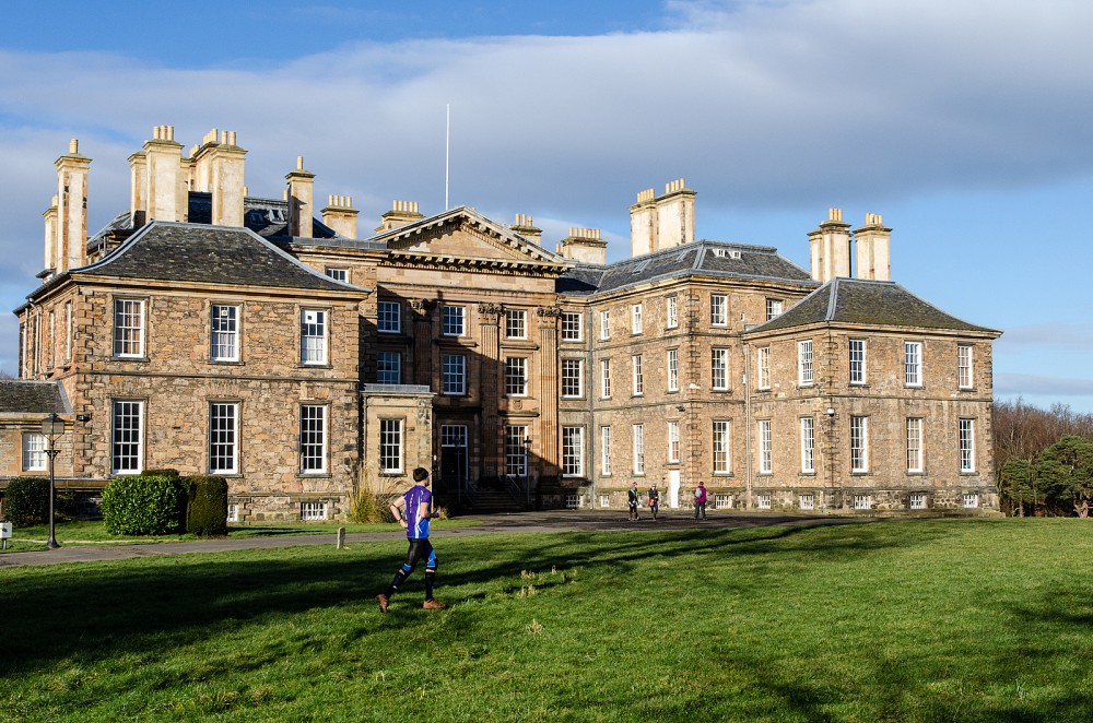
Credit: Crawford Lindsay
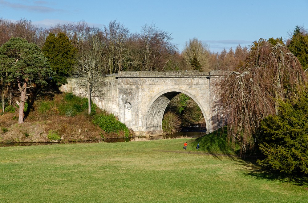
Credit: Crawford Lindsay
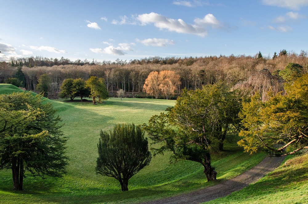
Credit: Crawford Lindsay
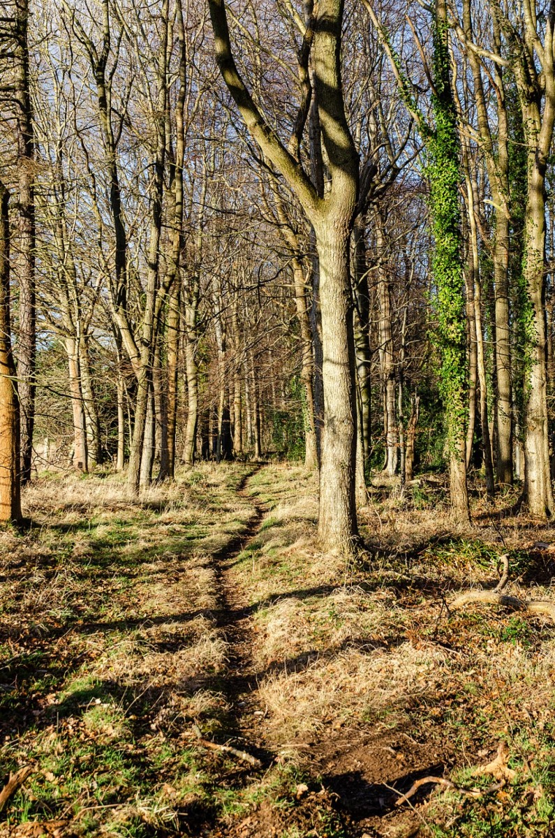
Credit: Crawford Lindsay