
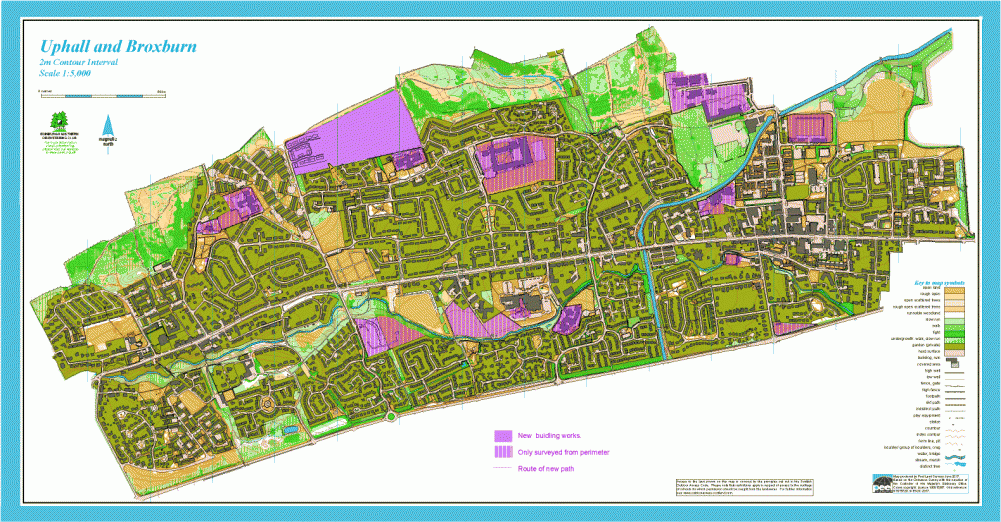
Uphall and Broxburn map
Information
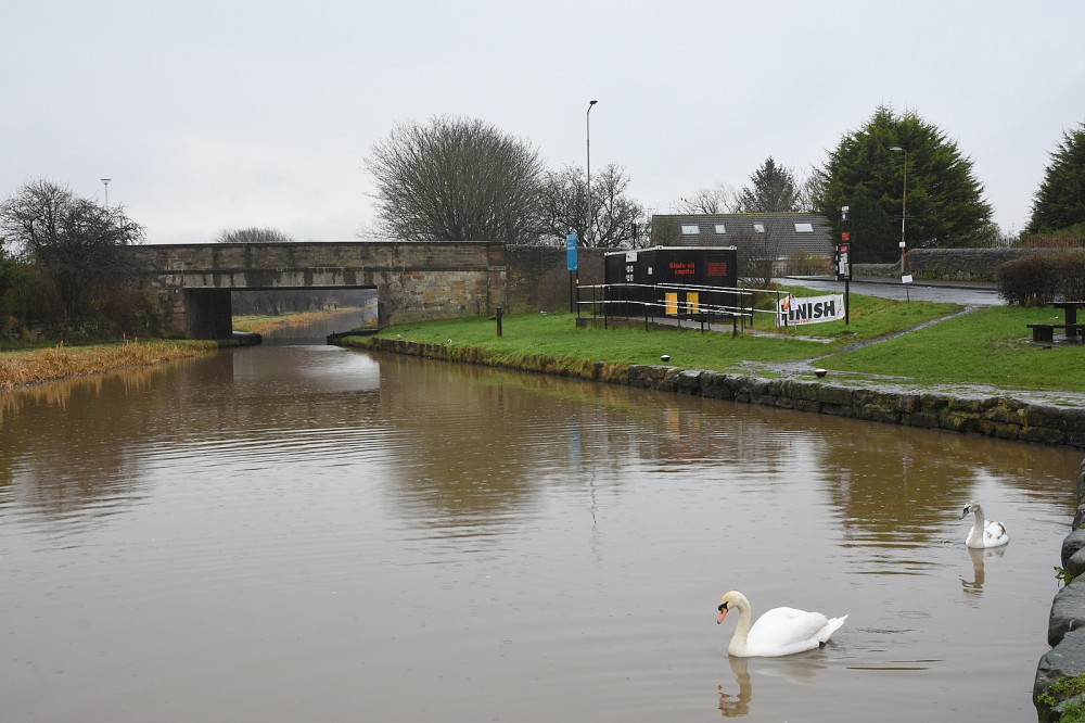
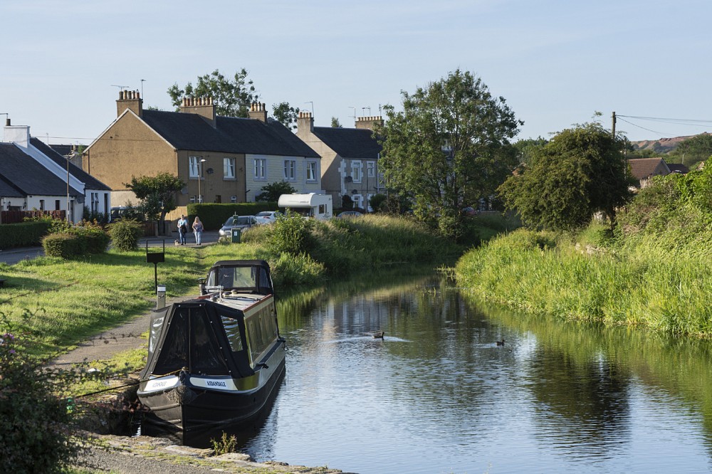
Urban area, mostly residential, including the Union Canal.
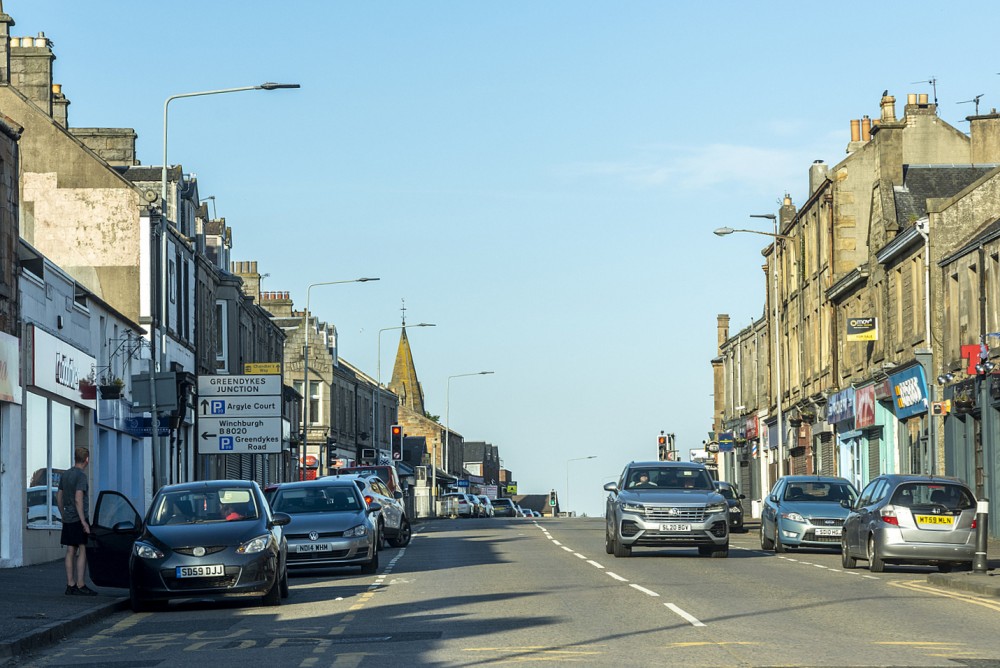
Uphall and Broxburn are west of Edinburgh, and the map covers urban terrain on both sides of the A899, bounded to the south by the A89. This includes housing estates of various ages, some parkland, riverside paths and open ground. The Brox Burn and the Union Canal run through the area.
Used for Regional events (e.g. ESOC Sprint/Scottish Orienteering Urban League).
Location
/-3.484,55.9329,12/500x400?access_token=pk.eyJ1IjoicGF1bGZyb3N0IiwiYSI6ImNscGg3eGRlMjA0cm8yaW52aGhtY2lxZjQifQ.Lc483ZPI9QPGNrBpcqqywQ)
Near: Broxburn Lat,Lng: 55.9329,-3.484 OS Grid Ref: NT072719 Postcode: EH52 5LD
Open an interactive map in: GoogleMap - OpenStreetMap - AppleMaps - BingMap
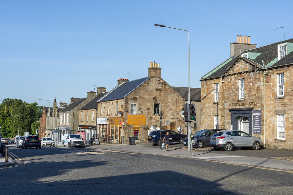
Credit: Crawford Lindsay
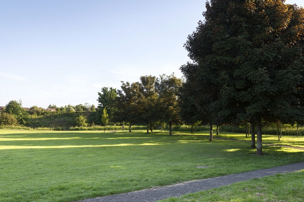
Credit: Crawford Lindsay
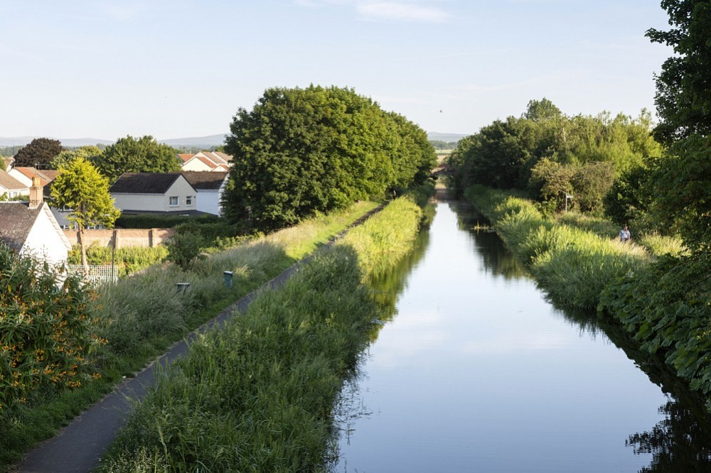
Credit: Crawford Lindsay
Credit: Crawford Lindsay
Credit: Crawford Lindsay
Credit: Crawford Lindsay