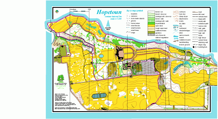
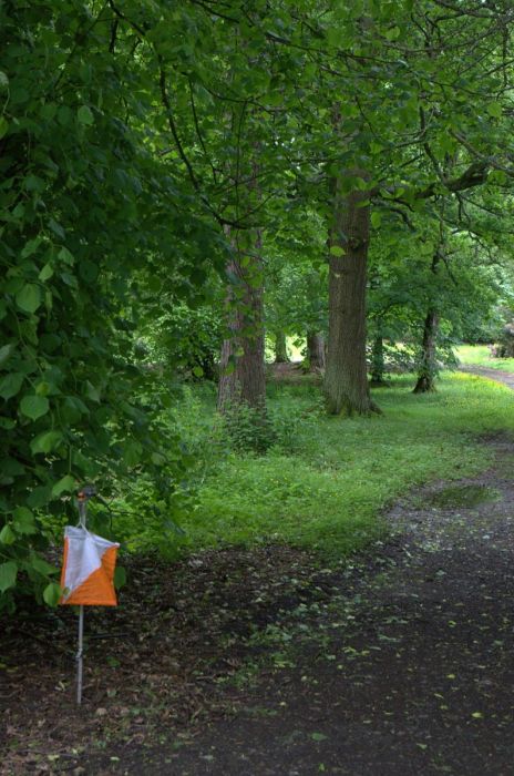
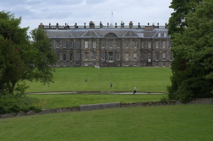
Hopetoun House map
Information
Formal gardens and parkland around a stately home, with rolling pastureland beyond.
This is a country estate and stately home, west of South Queensferry. The terrain is mainly open parkland, and around the house there are managed gardens and woodland, with a good path network. The map includes the Deer Park, which is rolling grassy pastureland with a herd of fallow deer. The Deer Park contains some interesting features, including horse jumps and clusters of fences. The Hopetoun House grounds are separated from the Deer Park by walls, ha-has and fences that must not be crossed except at the gates. There are good views across the Forth estuary.
The house and grounds are open to the public, from Easter to the end of September, and there is a tearoom.
There is a Permanent Orienteering Course here.
Used for Regional events (e.g. South of Scotland Orienteering League) or Local events (e.g. Saturday events).
Location
Near: South Queensferry Lat,Lng: 55.9953,-3.4623 OS Grid Ref: NT088790 Postcode: EH52 6QH
Open an interactive map in: GoogleMap - OpenStreetMap - AppleMaps - BingMap


/-3.4623,55.9953,12/500x400?access_token=pk.eyJ1IjoicGF1bGZyb3N0IiwiYSI6ImNscGg3eGRlMjA0cm8yaW52aGhtY2lxZjQifQ.Lc483ZPI9QPGNrBpcqqywQ)

