
South Queensferry map
Information
Urban area with a mix of old and new.
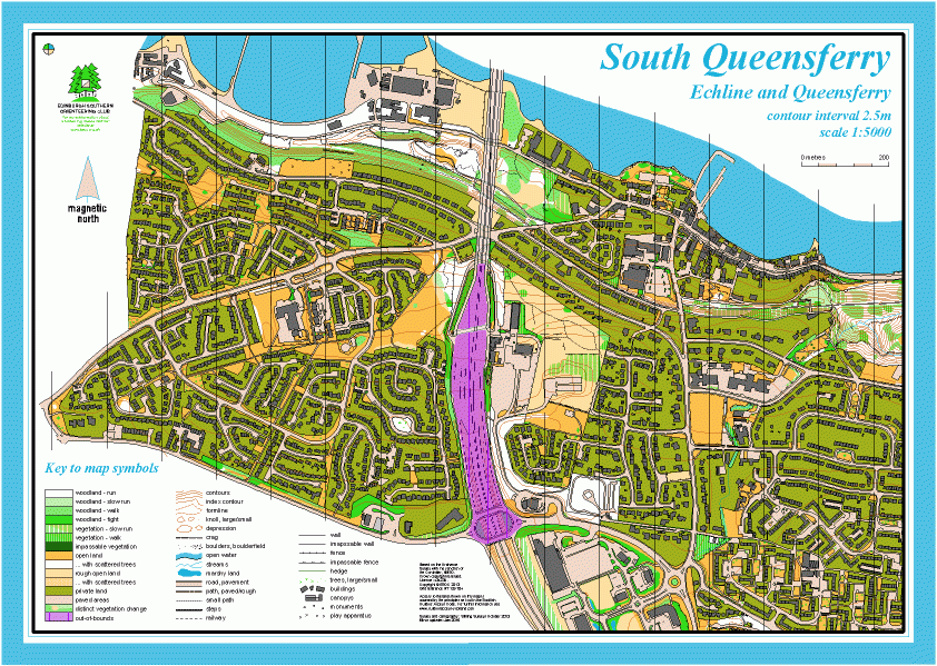
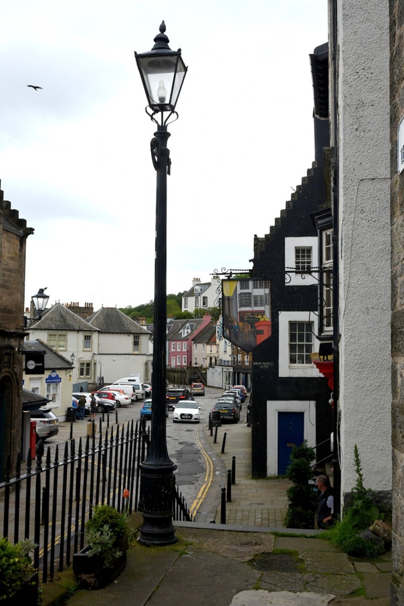
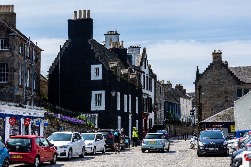
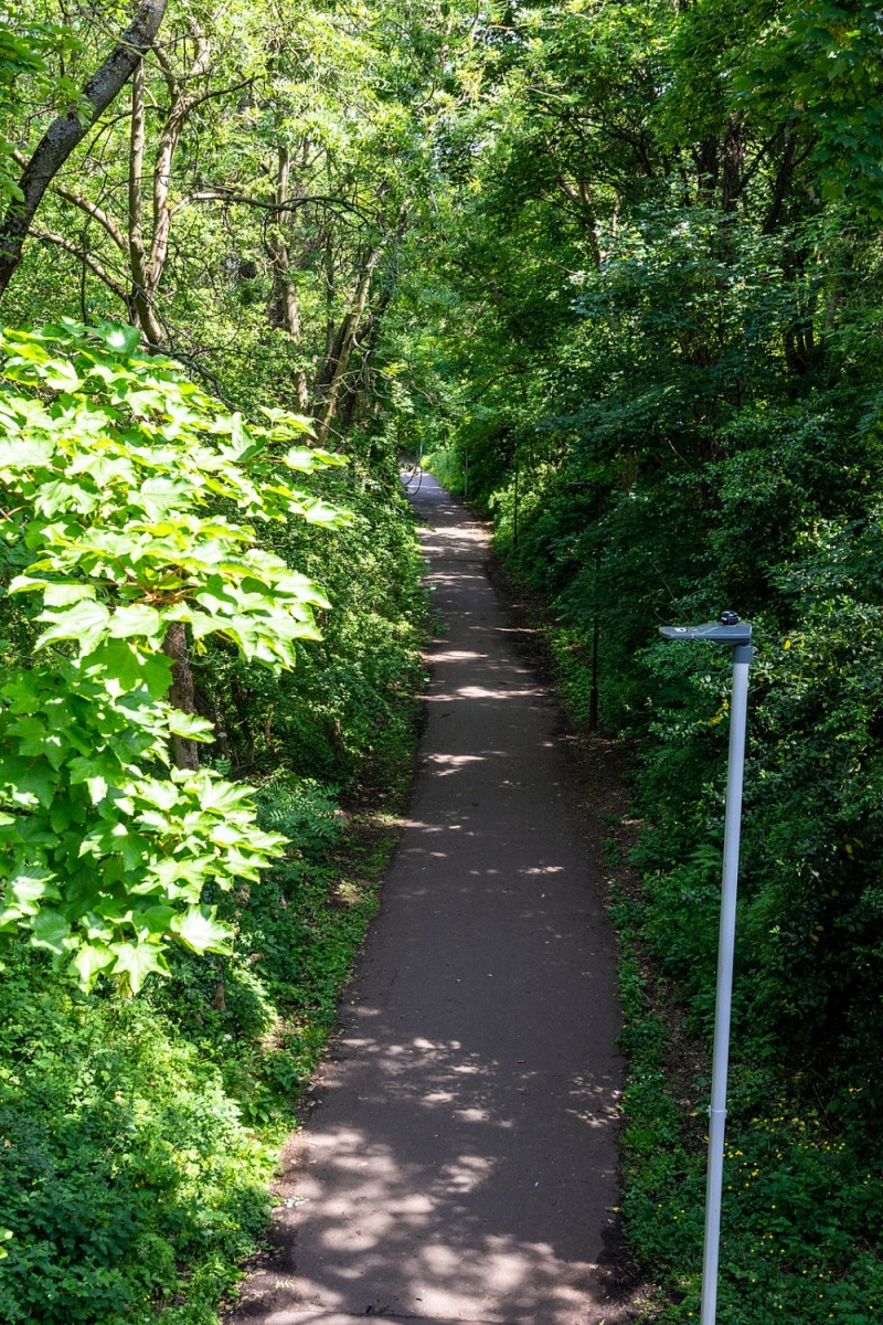
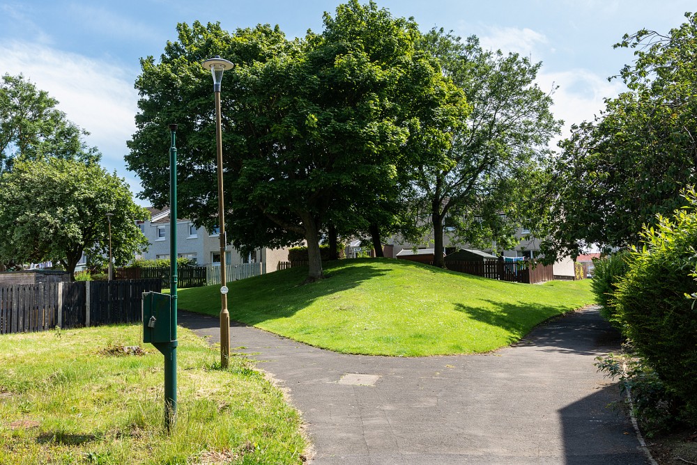
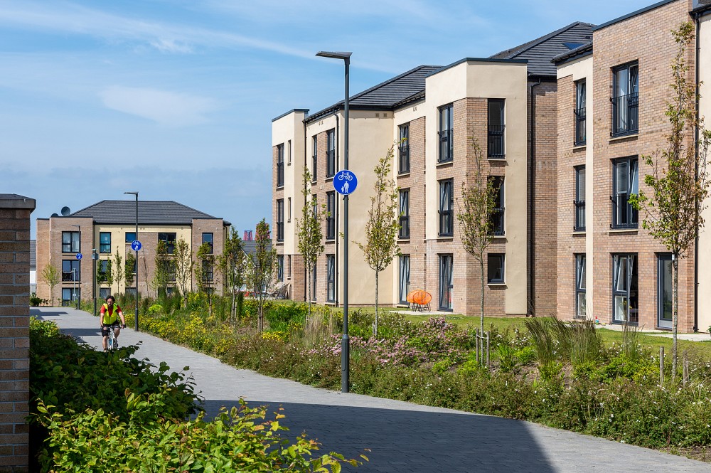
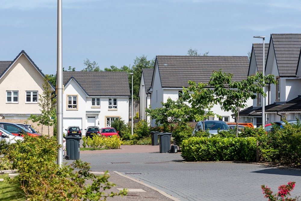
South Queensferry has a variety of urban terrain, including the old town centre with narrow alleyways and steps, modern housing estates criss-crossed by a maze of pathways, open grassy areas and gardens, the beach, and a pathway along a disused railway line. This is all set on the side of a hill, with good views of the bridges across the Forth.
Used for Regional events (e.g. the ESOC Sprint/Scottish Orienteering Urban League) and Local events.
Location
/-3.3873,55.9862,12/500x400?access_token=pk.eyJ1IjoicGF1bGZyb3N0IiwiYSI6ImNscGg3eGRlMjA0cm8yaW52aGhtY2lxZjQifQ.Lc483ZPI9QPGNrBpcqqywQ)
Near: Edinburgh Lat,Lng: 55.9862,-3.3873 OS Grid Ref: NT128783 Postcode: EH30 9JN
Open an interactive map in: GoogleMap - OpenStreetMap - AppleMaps - BingMap
Credit: Crawford Lindsay
Credit: Sally Lindsay
Credit: Crawford Lindsay
Credit: Sally Lindsay
Credit: Sally Lindsay
Credit: Sally Lindsay