
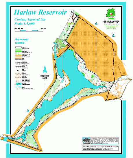
Harlaw Reservoir map
Information
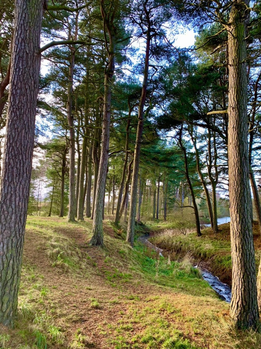
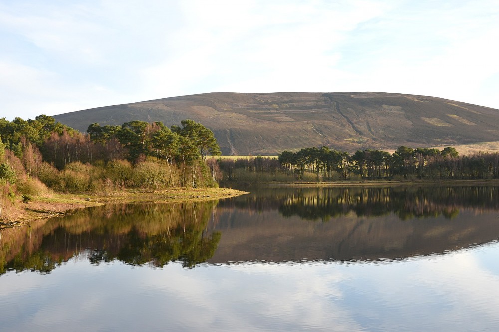
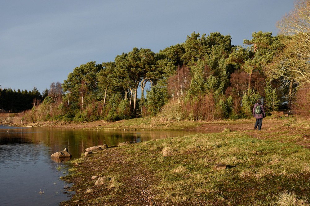
A small reservoir with wooded shores, on the fringe of the Pentlands
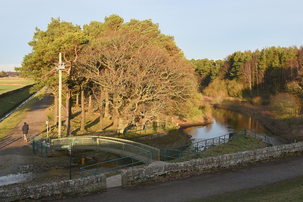
Harlaw Reservoir is near Balerno. The dam was constructed in the 1840s to provide water for the city. The reservoir is no longer used for the public water supply, but along with the neighbouring Threipmuir Reservoir it now provides flood prevention water storage. There’s a small visitor centre near the dam. The map covers open land NE of the reservoir and the paths around the wooded shores and across the Threipmuir dam.
There are Virtual Orienteering Courses (VOCs) here. They are available as MapRun courses on a smartphone. Unlike Permanent Orienteering Courses, the control sites are virtual, i.e. there are no markers or posts on the ground. Full details of the courses available (difficulty, length, and safety advice) and how to access them can be found on the Harlaw page of British Orienteering’s “Go Orienteering” web portal.
Full instructions for accessing/using the MapRun software are included on the Smartphone Orienteering & Permanent Courses page of the Scottish Orienteering website.
Location
/-3.3065,55.8721,12/500x400?access_token=pk.eyJ1IjoicGF1bGZyb3N0IiwiYSI6ImNscGg3eGRlMjA0cm8yaW52aGhtY2lxZjQifQ.Lc483ZPI9QPGNrBpcqqywQ)
Near: Edinburgh Lat,Lng: 55.8721,-3.3065 OS Grid Ref: NT182651 Postcode: EH14 7AS
Open an interactive map in: GoogleMap - OpenStreetMap - AppleMaps - BingMap
Credit: Walter Clark
Credit: Crawford Lindsay
Credit: Crawford Lindsay
Credit: Crawford Lindsay