
Newhaven-Fort map

Information
Small urban area
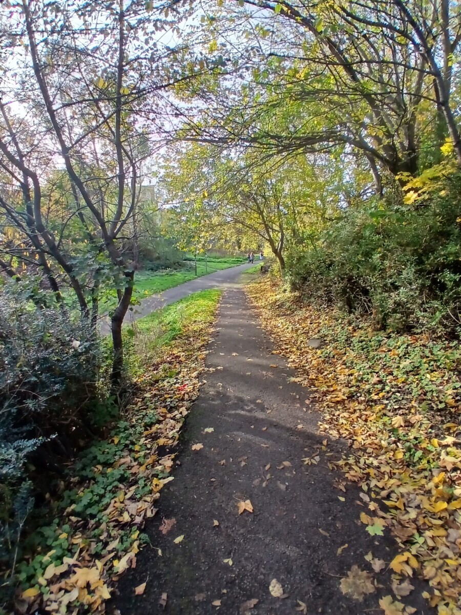
Urban map of part of North Edinburgh, including Newhaven, Fort and part of the North Edinburgh Path Network. The above map is bounded by Craighall Road and Newhaven Road in the west, Ferry Road in the south and Lindsay Road in the north, and is adjacent to Victoria Park. The terrain includes residential streets and industrial premises, with pockets of complex development. This is part of a larger map of North Edinburgh that is used for bigger events.
Location
/-3.1889,55.9788,12/500x400?access_token=pk.eyJ1IjoicGF1bGZyb3N0IiwiYSI6ImNscGg3eGRlMjA0cm8yaW52aGhtY2lxZjQifQ.Lc483ZPI9QPGNrBpcqqywQ)
Near: Edinburgh Lat,Lng: 55.9788,-3.1889 Postcode: EH6 4JL
Open an interactive map in: GoogleMap - OpenStreetMap - AppleMaps - BingMap
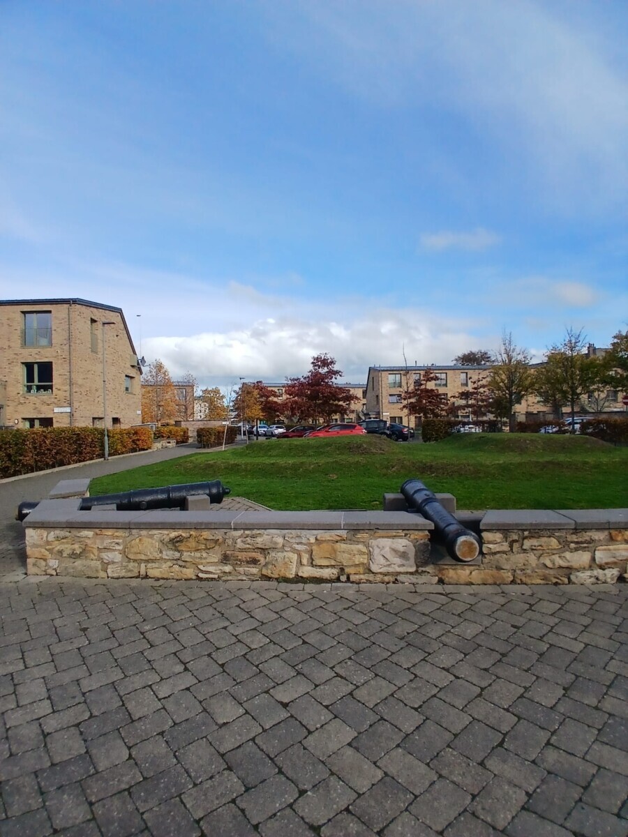
Credit: Vicente López Sánchez
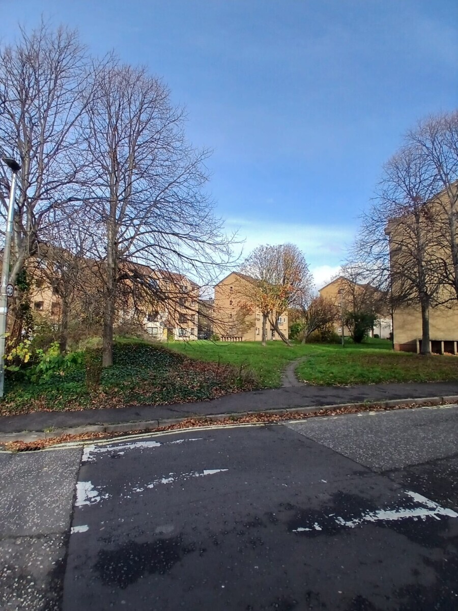
Credit: Vicente López Sánchez
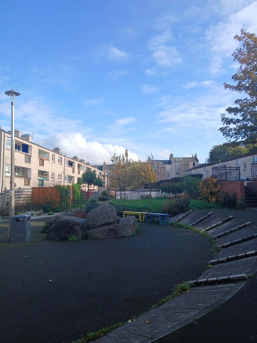
Credit: Vicente López Sánchez
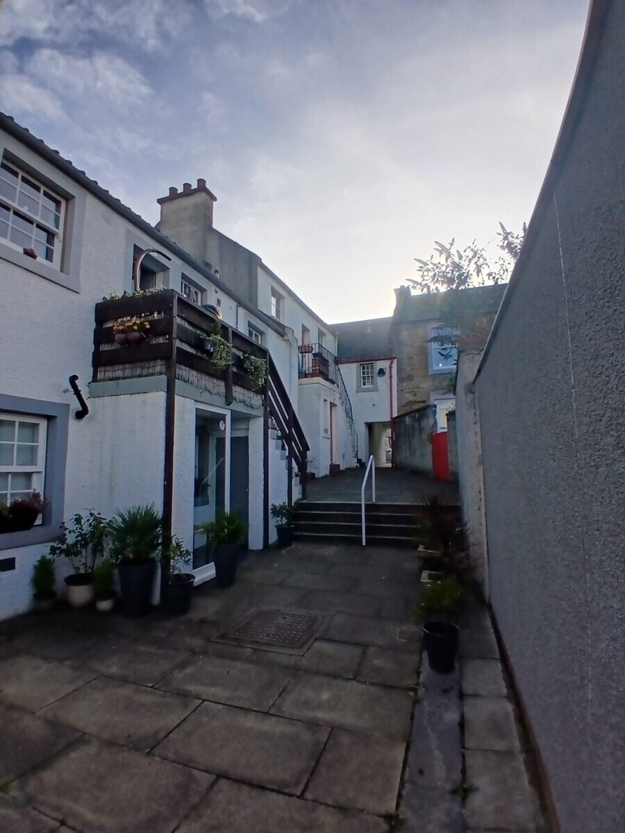
Credit: Vicente López Sánchez
Credit: Vicente López Sánchez