
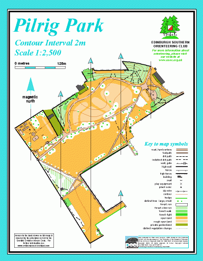
Pilrig Park map
Information
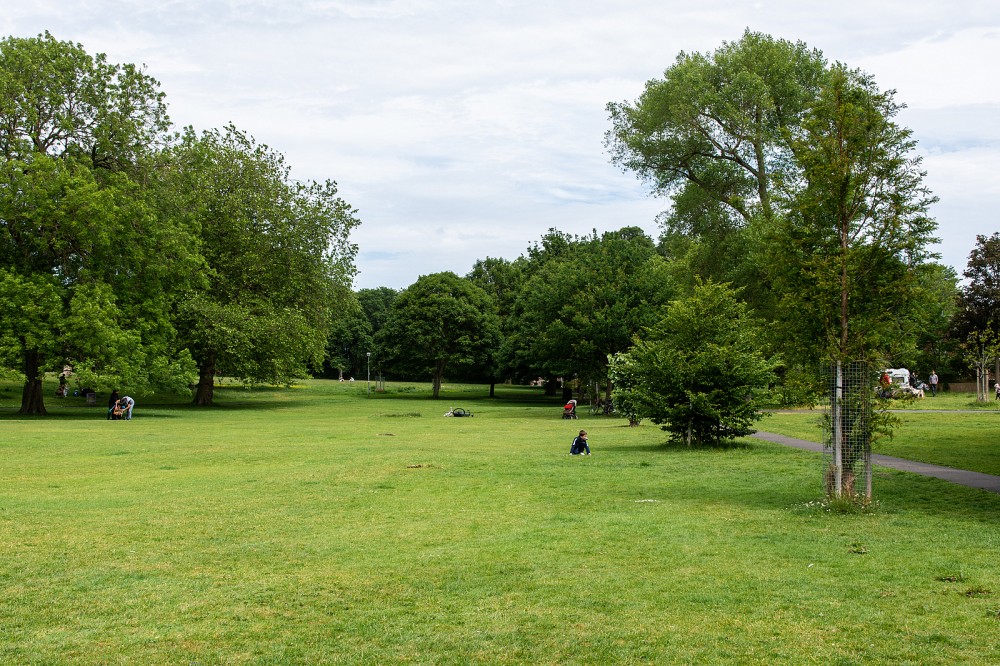
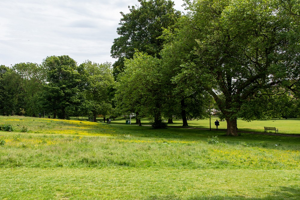
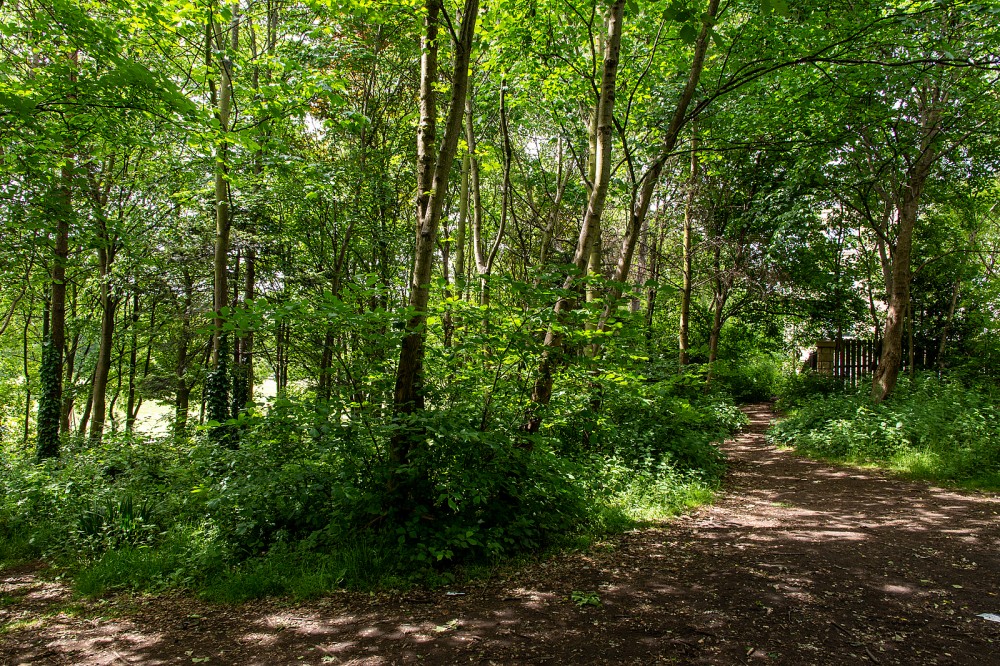
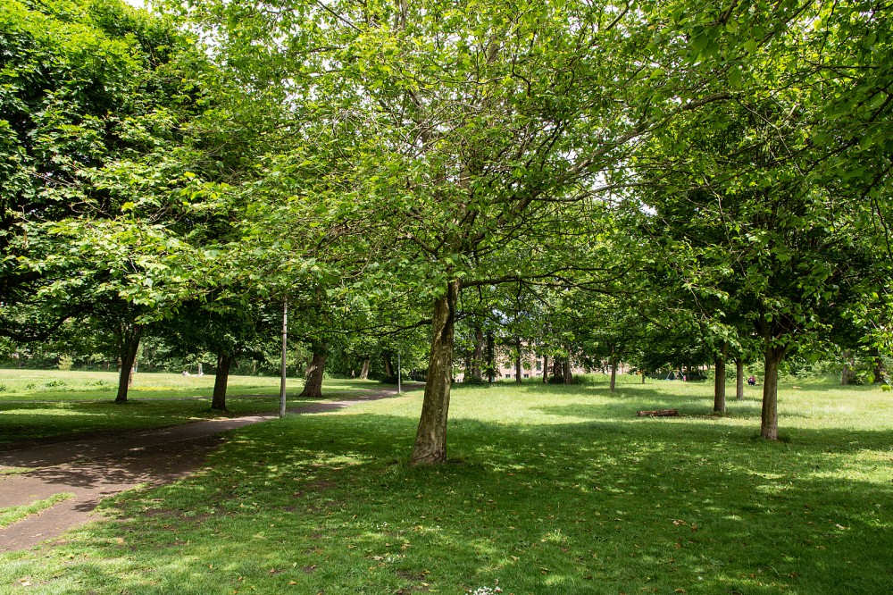
Small city park with open ground and mature trees
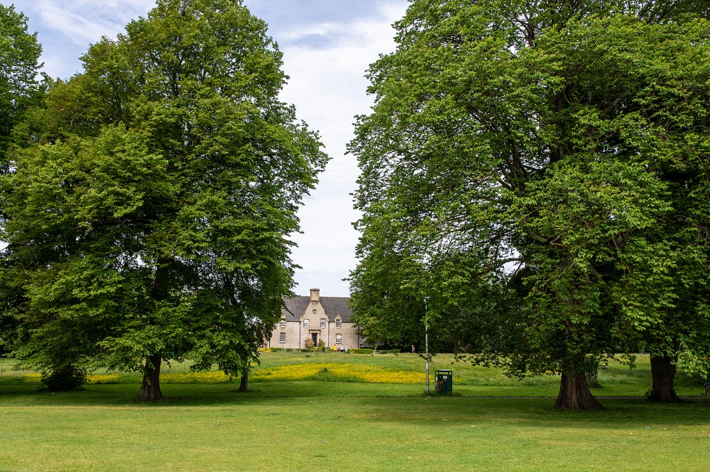
Pilrig Park is NE of the city centre, off Pilrig Street, between Leith Walk and Bonnington Road. This city park is managed by the City of Edinburgh Council. It is mostly open, with many mature trees. Flat grass slopes up to a wooded hill in the north of the map, and there are two play areas. The park was once part of the grounds of Pilrig House, built in 1638, which still presides over the area and has historical links with Robert Louis Stevenson.
There are Virtual Orienteering Courses (VOCs) here. They are available as MapRun courses on a smartphone. Unlike Permanent Orienteering Courses, the control sites are virtual, i.e. there are no markers or posts on the ground. Full details of the courses available (difficulty, length, and safety advice) and how to access them can be found on the Pilrig Park page of British Orienteering’s “Go Orienteering” web portal.
Full instructions for accessing/using the MapRun software are included on the Smartphone Orienteering & Permanent Courses page of the Scottish Orienteering website.
Location
/-3.1813,55.9682,12/500x400?access_token=pk.eyJ1IjoicGF1bGZyb3N0IiwiYSI6ImNscGg3eGRlMjA0cm8yaW52aGhtY2lxZjQifQ.Lc483ZPI9QPGNrBpcqqywQ)
Near: Edinburgh Lat,Lng: 55.9682,-3.1813 OS Grid Ref: NT263756 Postcode: EH6 5BA
Open an interactive map in: GoogleMap - OpenStreetMap - AppleMaps - BingMap
Credit: Sally Lindsay
Credit: Sally Lindsay
Credit: Sally Lindsay
Credit: Sally Lindsay
Credit: Sally Lindsay