
Victoria and St Marks Park map

Information
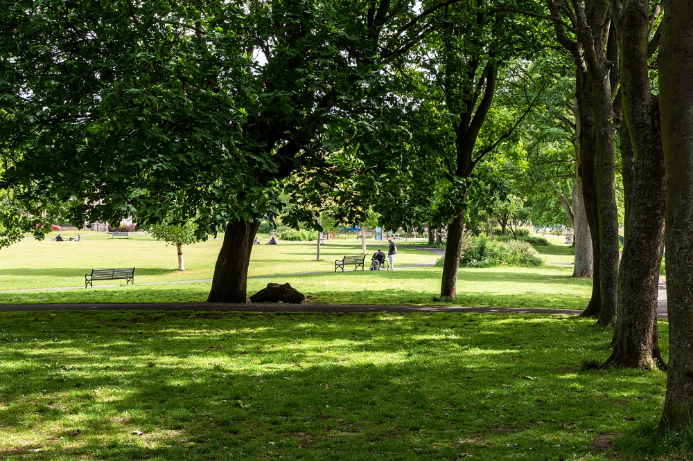
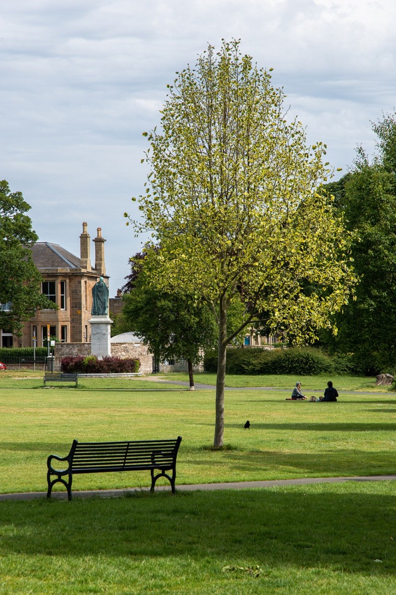
Urban area including two city parks.
Urban map of part of North Edinburgh, including Warriston, St Mark’s Park, Victoria Park, the Water of Leith, and parts of the North Edinburgh Path Network. The terrain is varied, with pockets of new development, both residential and offices, as well as older properties, and two city parks, linked by paths along old railway lines (Goldenacre Path, Chancelot Path, Hawthornvale Path and Victoria Path) as well as the Water of Leith Walkway. The parks have open grass with mature trees, tarmac paths and gardens.
Location
/-3.1945,55.9689,12/500x400?access_token=pk.eyJ1IjoicGF1bGZyb3N0IiwiYSI6ImNscGg3eGRlMjA0cm8yaW52aGhtY2lxZjQifQ.Lc483ZPI9QPGNrBpcqqywQ)
Near: Lat,Lng: 55.9689,-3.1945 OS Grid Ref: NT255757 Postcode: EH7 4GG What3Words: ///apron.charge.half
Open an interactive map in: GoogleMap - OpenStreetMap - AppleMaps - BingMap

Credit: Jim Murdoch

Credit: Jim Murdoch

Credit: Jim Murdoch

Credit: Jim Murdoch
Credit: Sally Lindsay
Credit: Crawford Lindsay