
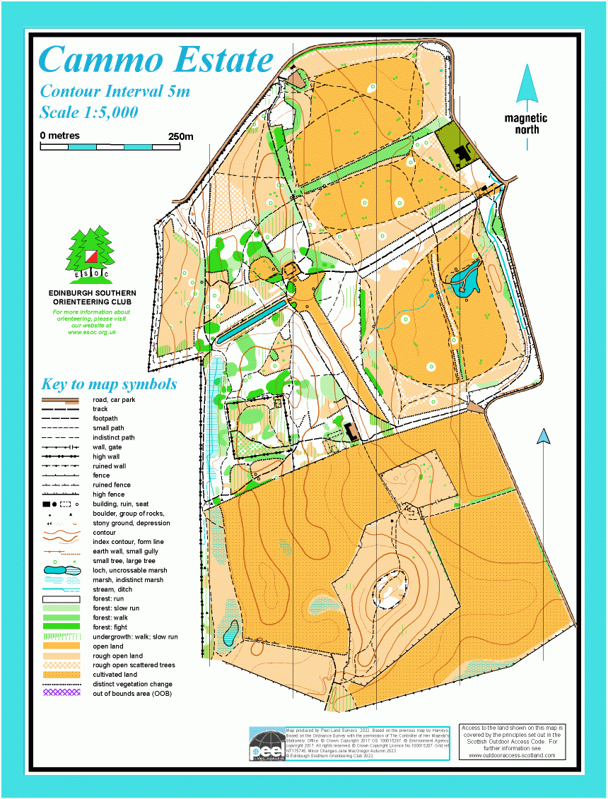
Cammo Estate map
Information
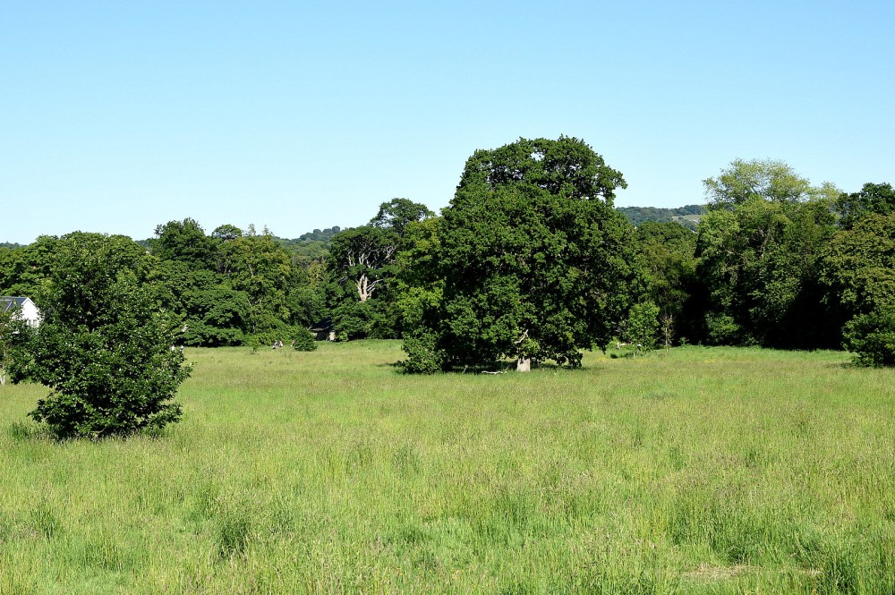
Woodland and parkland on an old country estate.
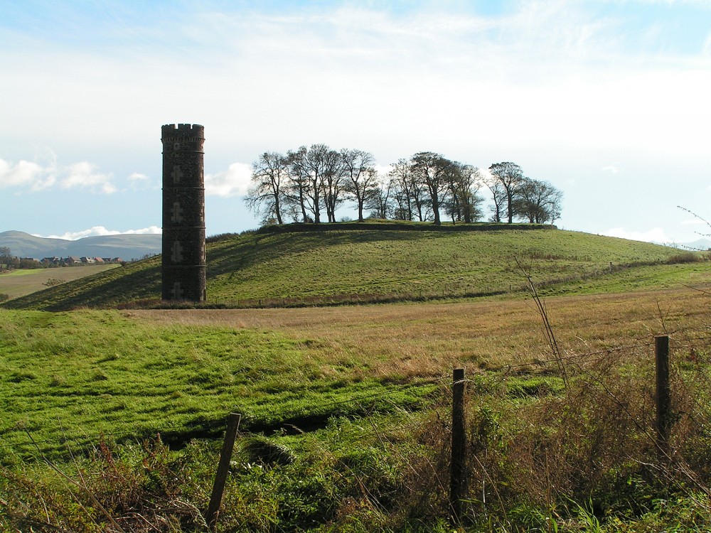
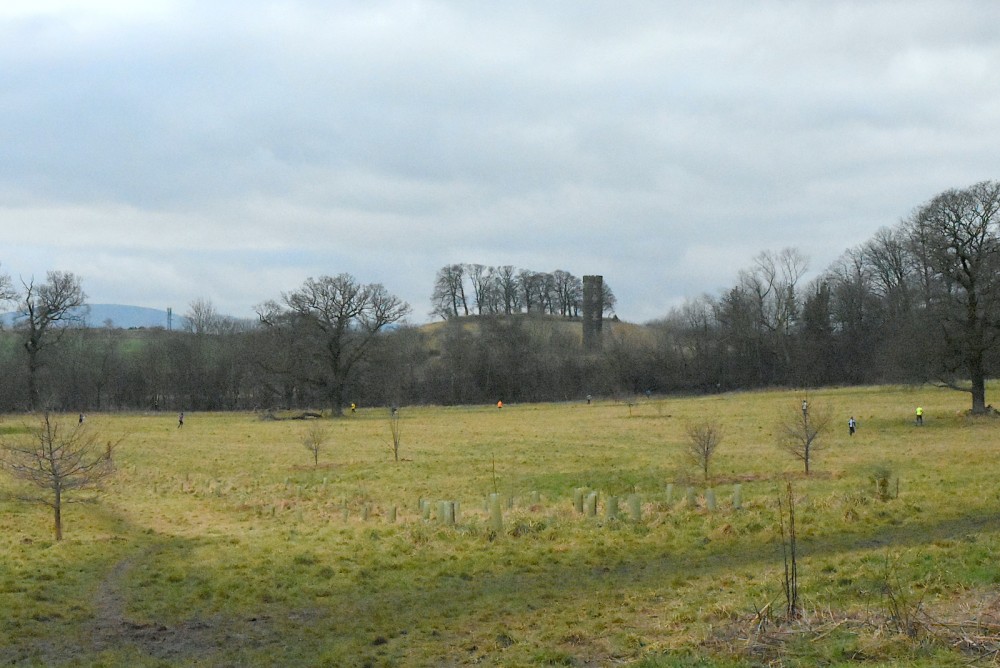
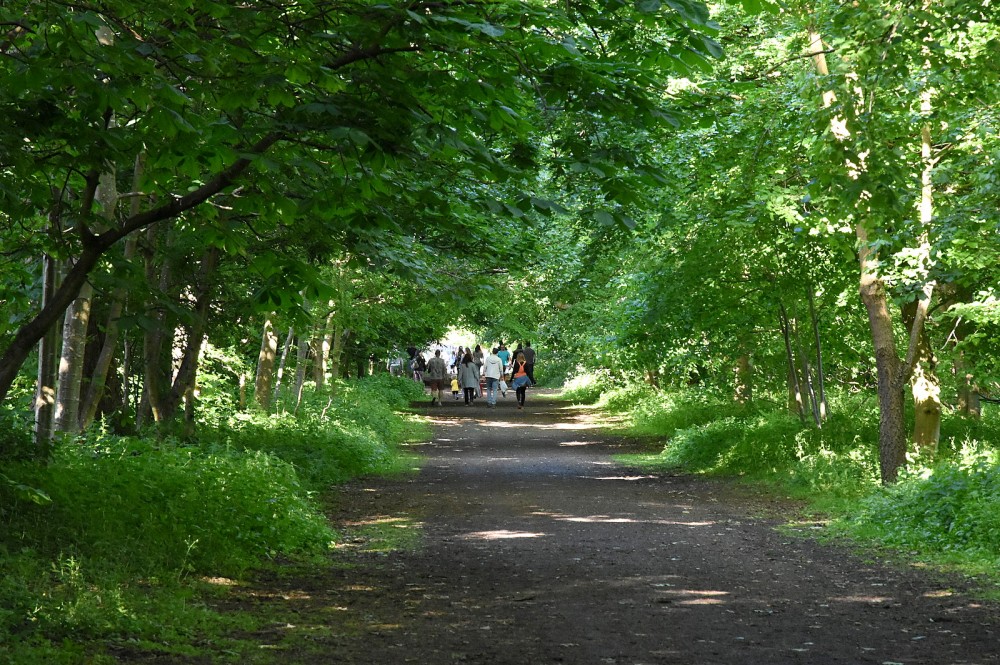
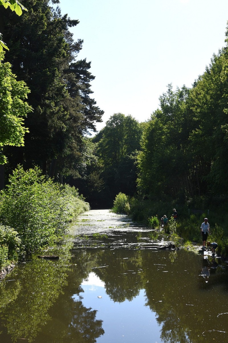
This area is a public park managed by the City of Edinburgh Council, with a visitor centre. Cammo was at one time a country estate, and the ruined stables can still be seen, as well as the remains of the big house and walled garden. In the south of the map, there is an old water tower by a small hill. The area includes open grassy fields, extensive mature woodland and farmland which is sometimes ploughed. There are some water features – a long artificial lake, streams, and a recently created pond and wetland area. The area is rich in wildlife.
This map is used for local events (e.g. Saturday events).
There is a Permanent Orienteering Course here.
Virtual Orienteering Courses (VOCs), using the Permanent Orienteering Course (POC) posts, are available as MapRun courses on a smartphone. Full details of the courses available (difficulty, length, and safety advice) and how to access them can be found on the Cammo Estate page of British Orienteering’s “Go Orienteering” web portal.
Full instructions for accessing/using the MapRun software are included on the Smartphone Orienteering & Permanent Courses page of the Scottish Orienteering website.
Location
/-3.3215,55.9564,12/500x400?access_token=pk.eyJ1IjoicGF1bGZyb3N0IiwiYSI6ImNscGg3eGRlMjA0cm8yaW52aGhtY2lxZjQifQ.Lc483ZPI9QPGNrBpcqqywQ)
Near: Edinburgh Lat,Lng: 55.9564,-3.3215 OS Grid Ref: NT175745 Postcode: EH4 8AW
Open an interactive map in: GoogleMap - OpenStreetMap - AppleMaps - BingMap
Credit: Crawford Lindsay
Credit: Crawford Lindsay
Credit: Crawford LIndsay
Credit: Crawford Lindsay
Credit: Crawford Lindsay