
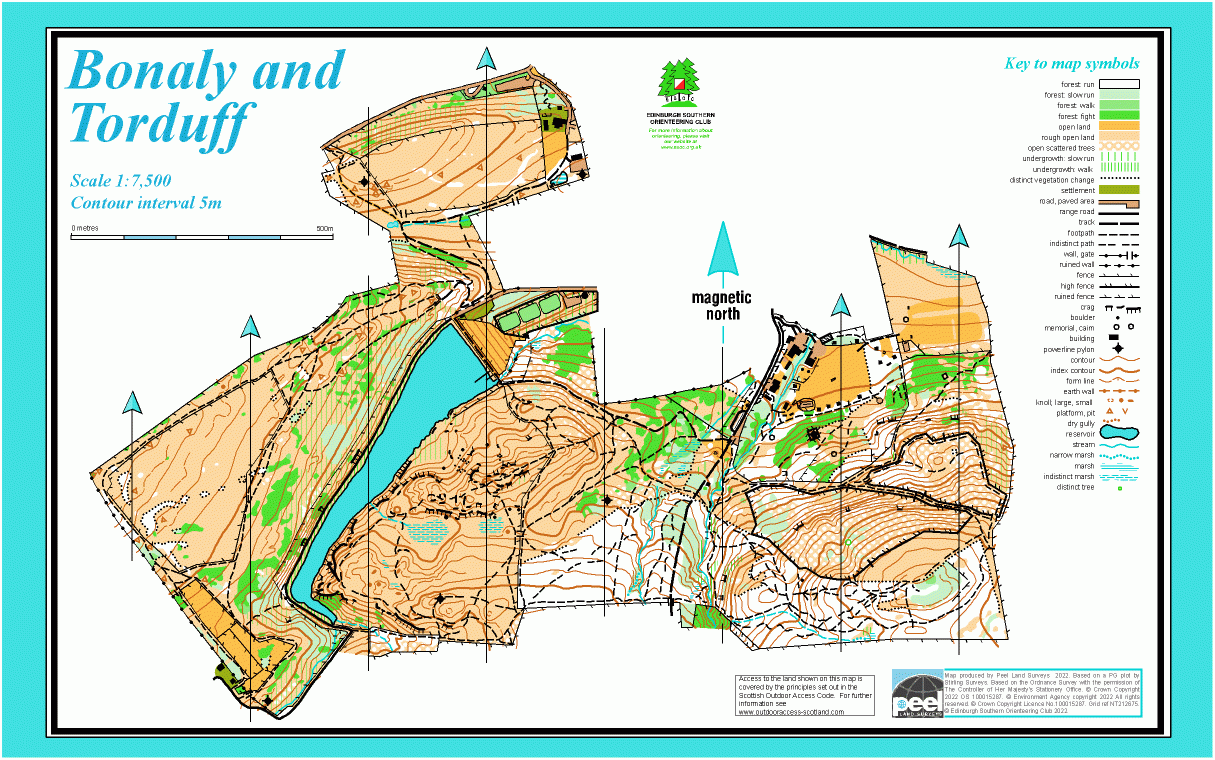
Bonaly and Torduff map
Information
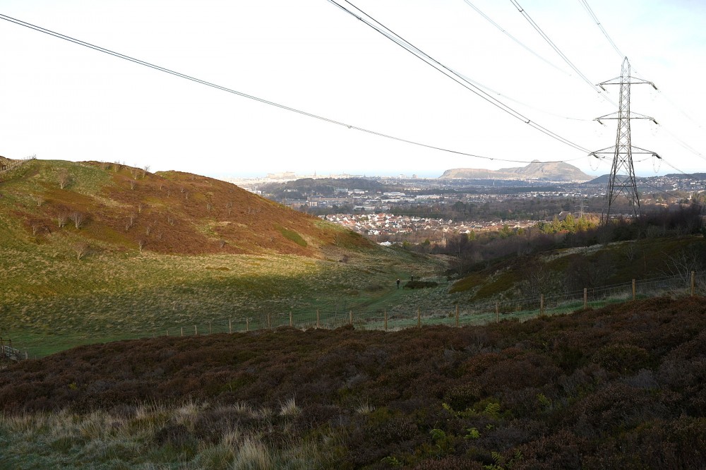
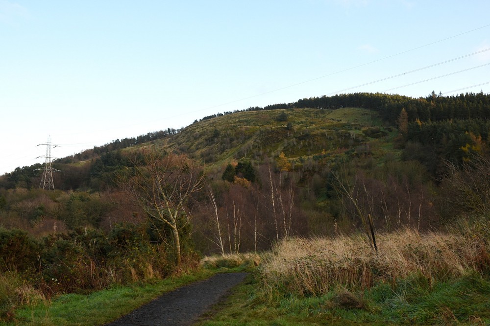
Open hills and woodland on the NW edge of the Pentlands.
This map covers Bonaly Country Park plus Torduff Hill and land NW of the Torduff Reservoir. The Country Park is owned by the City of Edinburgh Council and managed as part of the Pentland Hills Regional Park. The area on the map is hilly, offering some complex woodland and open moorland with many rock features. A minor road and major track run through the area, and there are other well-established paths as well as some recent mountain bike tracks.
There is a Permanent Orienteering Course in the Country Park.
Used for local events (e.g. Saturday events).
Location
/-3.2618,55.8941,12/500x400?access_token=pk.eyJ1IjoicGF1bGZyb3N0IiwiYSI6ImNscGg3eGRlMjA0cm8yaW52aGhtY2lxZjQifQ.Lc483ZPI9QPGNrBpcqqywQ)
Near: Edinburgh Lat,Lng: 55.8941,-3.2618 OS Grid Ref: NT211675 Postcode: EH13 0PB
Open an interactive map in: GoogleMap - OpenStreetMap - AppleMaps - BingMap
Credit: Walter Clark
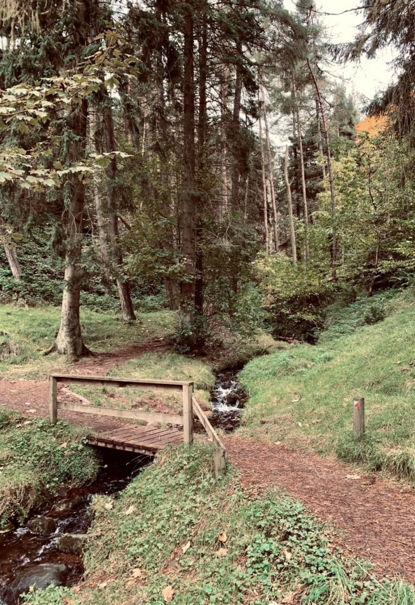
Credit: Sally Lindsay
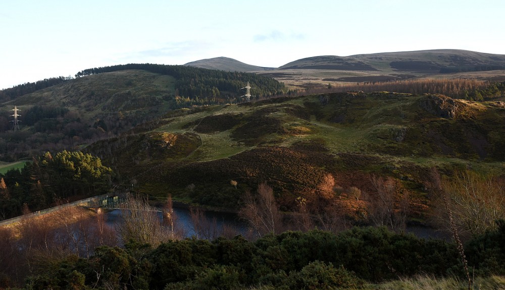
Credit: Crawford Lindsay
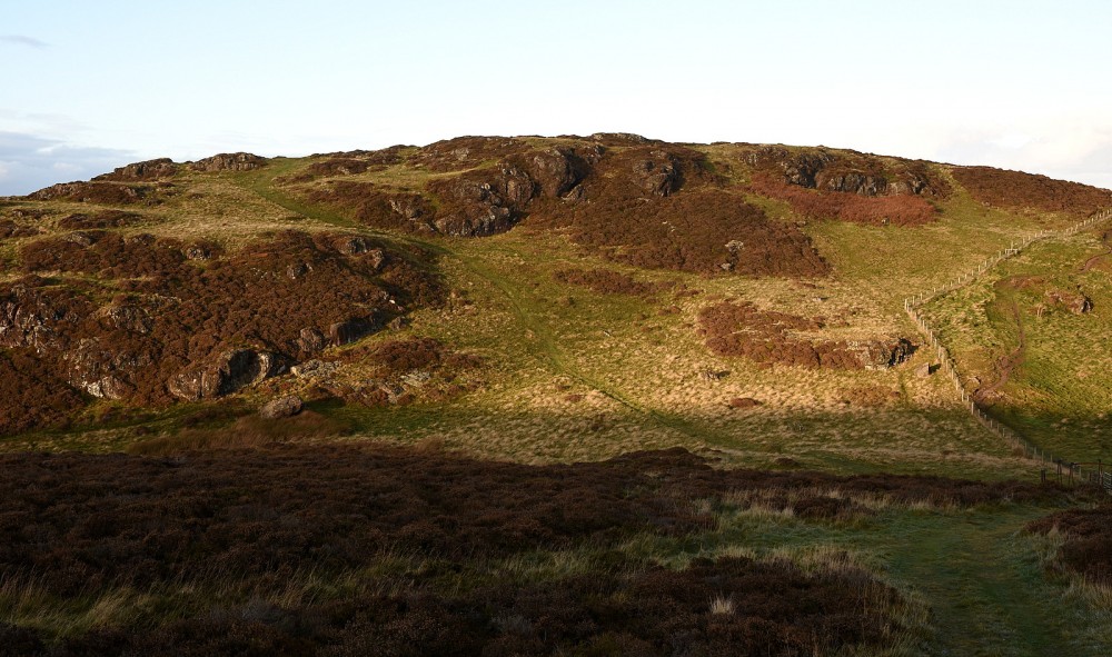
Credit: Sally Lindsay
Credit: Sally Lindsay