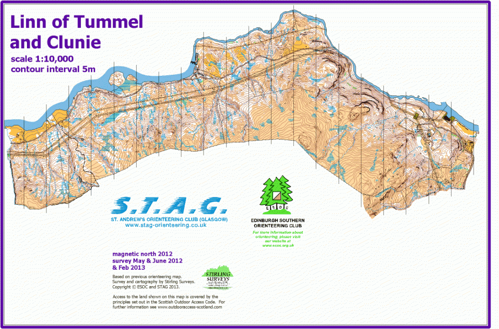
Linn of Tummel & Clunie map
Information
Mostly open hillside with scattered birch trees and some larger areas of woodland.
Linn of Tummel and Clunie is NW of Pitlochry, on the south side of the River Tummel. It's a long, narrow area, on a steep hillside with many small streams and marshes, as well as rock features including some large crags. The lower slopes are birch woodland; the upper slopes are heathery.
The Linn of Tummel and Clunie map is jointly owned with St Andrew's Orienteering Club (Glasgow).
Used for National events (e.g. Scottish Orienteering League).
Location
Near: Pitlochry Lat,Lng: 56.7214,-3.8015 OS Grid Ref: NN888594 Postcode: PH16 5NP
Open an interactive map in: GoogleMap - OpenStreetMap - AppleMaps - BingMap


/-3.8015,56.7214,12/500x400?access_token=pk.eyJ1IjoicGF1bGZyb3N0IiwiYSI6ImNscGg3eGRlMjA0cm8yaW52aGhtY2lxZjQifQ.Lc483ZPI9QPGNrBpcqqywQ)